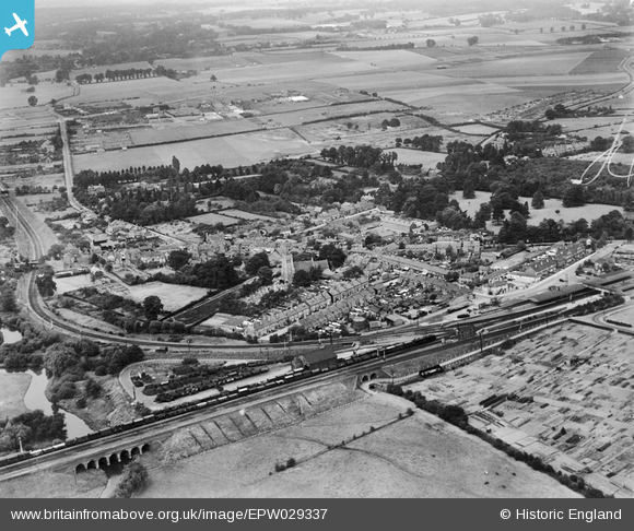
EPW029337 ENGLAND (1929). St Mary's Church and the village, Twyford, 1929
© Copyright OpenStreetMap contributors and licensed by the OpenStreetMap Foundation. 2026. Cartography is licensed as CC BY-SA.
Nearby Images (10)
EPW029337

EAW041735

EAW041734

EPW029333

EPW029338

EPW029335

EPW029334

EPW029339

EAW041737

EAW041736

Details
| Title | [EPW029337] St Mary's Church and the village, Twyford, 1929 |
| Reference | EPW029337 |
| Date | September-1929 |
| Link | |
| Place name | TWYFORD |
| Parish | TWYFORD |
| District | |
| Country | ENGLAND |
| Easting / Northing | 478866, 175963 |
| Longitude / Latitude | -0.86426581029108, 51.476636720524 |
| National Grid Reference | SU789760 |
Pins

Rhona |
Monday 30th of August 2021 03:02:37 PM | |
|
Isleworth1961 |
Sunday 7th of December 2014 05:55:41 PM |