
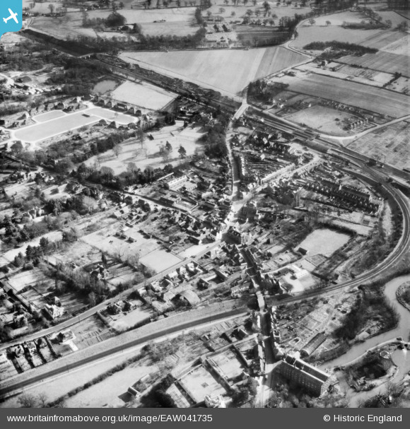
EAW041735 ENGLAND (1952). The village, Twyford, 1952
© Copyright OpenStreetMap contributors and licensed by the OpenStreetMap Foundation. 2026. Cartography is licensed as CC BY-SA.
Nearby Images (10)
EAW041735

EPW029337

EAW041734

EPW029333

EPW029334

EPW029335

EPW029338

EAW041737

EAW041736

EPW029339

Details
| Title | [EAW041735] The village, Twyford, 1952 |
| Reference | EAW041735 |
| Date | 20-February-1952 |
| Link | |
| Place name | TWYFORD |
| Parish | TWYFORD |
| District | |
| Country | ENGLAND |
| Easting / Northing | 478873, 176000 |
| Longitude / Latitude | -0.86415676261805, 51.476968402983 |
| National Grid Reference | SU789760 |
