
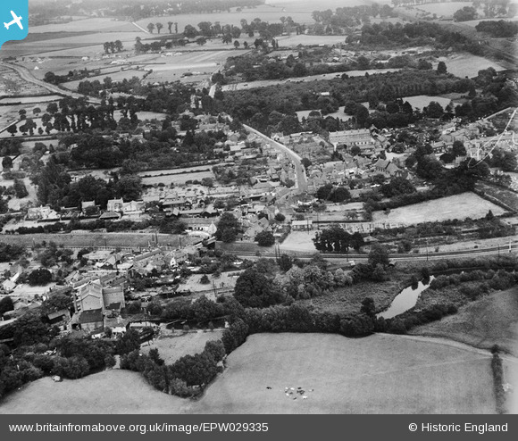
EPW029335 ENGLAND (1929). The village, Twyford, 1929
© Copyright OpenStreetMap contributors and licensed by the OpenStreetMap Foundation. 2026. Cartography is licensed as CC BY-SA.
Nearby Images (7)
EPW029335

EPW029334

EAW041734

EPW029333

EPW029337

EAW041735

EAW041736

Details
| Title | [EPW029335] The village, Twyford, 1929 |
| Reference | EPW029335 |
| Date | September-1929 |
| Link | |
| Place name | TWYFORD |
| Parish | TWYFORD |
| District | |
| Country | ENGLAND |
| Easting / Northing | 478711, 175999 |
| Longitude / Latitude | -0.86648944199754, 51.476981981827 |
| National Grid Reference | SU787760 |
Pins

Norman W |
Sunday 21st of October 2012 06:21:08 PM | |
|
Norman W |
Sunday 21st of October 2012 05:52:24 PM | |
|
Norman W |
Friday 19th of October 2012 08:03:52 PM | |
|
Norman W |
Friday 19th of October 2012 08:02:31 PM | |
|
Norman W |
Friday 19th of October 2012 08:01:42 PM | |
|
Norman W |
Friday 19th of October 2012 07:59:50 PM |