
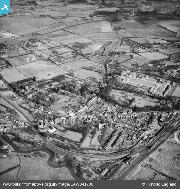
EAW041736 ENGLAND (1952). The village, Twyford, 1952
© Copyright OpenStreetMap contributors and licensed by the OpenStreetMap Foundation. 2026. Cartography is licensed as CC BY-SA.
Nearby Images (7)
EAW041736

EAW041737

EAW041735

EPW029337

EAW041734

EPW029334

EPW029335

Details
| Title | [EAW041736] The village, Twyford, 1952 |
| Reference | EAW041736 |
| Date | 20-February-1952 |
| Link | |
| Place name | TWYFORD |
| Parish | TWYFORD |
| District | |
| Country | ENGLAND |
| Easting / Northing | 478950, 176199 |
| Longitude / Latitude | -0.86300363766018, 51.478746822177 |
| National Grid Reference | SU790762 |
Pins

John Wass |
Friday 5th of June 2015 09:03:52 PM |