
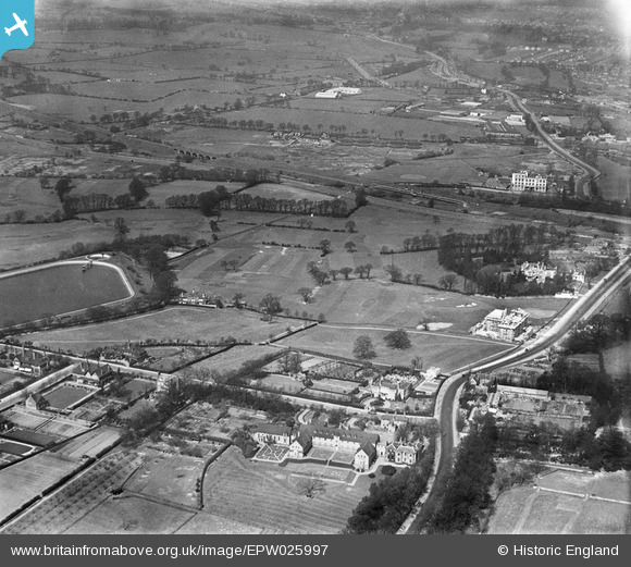
EPW025997 ENGLAND (1929). Hanger Hill Park and environs, Ealing, 1929
© Copyright OpenStreetMap contributors and licensed by the OpenStreetMap Foundation. 2026. Cartography is licensed as CC BY-SA.
Nearby Images (20)
EPW025997

EPW025996

EPW025991

EPW025990

EPW025998

EPW025994

EPW025989

EPW025992

EAW015158

EAW015159

EPW040864

EPW040866

EAW015161

EPW040873

EPW040874

EAW015160

EPW040863

EPW025995

EPW040865

EAW041246

Details
| Title | [EPW025997] Hanger Hill Park and environs, Ealing, 1929 |
| Reference | EPW025997 |
| Date | 6-April-1929 |
| Link | |
| Place name | EALING |
| Parish | |
| District | |
| Country | ENGLAND |
| Easting / Northing | 518287, 182303 |
| Longitude / Latitude | -0.29467032716862, 51.526753998028 |
| National Grid Reference | TQ183823 |
Pins

Des Elmes |
Saturday 29th of May 2021 04:16:39 AM | |

Leslie B |
Saturday 1st of December 2018 10:37:44 PM | |

Class31 |
Monday 24th of March 2014 11:52:43 AM | |
|
Class31 |
Monday 24th of March 2014 11:34:34 AM | |
|
Iain Mackinnon |
Thursday 26th of December 2013 12:54:54 PM | |
|
Class31 |
Monday 1st of April 2013 09:33:20 PM |