
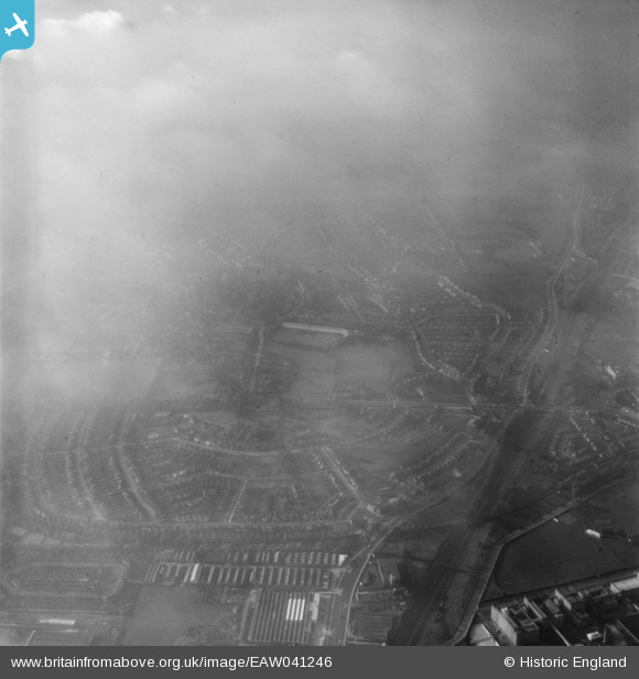
EAW041246 ENGLAND (1951). Fog over Hanger Hill and environs, Ealing, 1951
© Copyright OpenStreetMap contributors and licensed by the OpenStreetMap Foundation. 2026. Cartography is licensed as CC BY-SA.
Nearby Images (6)
EAW041246

EPW025998

EPW040774

EPW025997

EPW025996

EPW040776

Details
| Title | [EAW041246] Fog over Hanger Hill and environs, Ealing, 1951 |
| Reference | EAW041246 |
| Date | 14-November-1951 |
| Link | |
| Place name | EALING |
| Parish | |
| District | |
| Country | ENGLAND |
| Easting / Northing | 518080, 182100 |
| Longitude / Latitude | -0.29772126416717, 51.524972664435 |
| National Grid Reference | TQ181821 |
Pins
Be the first to add a comment to this image!