
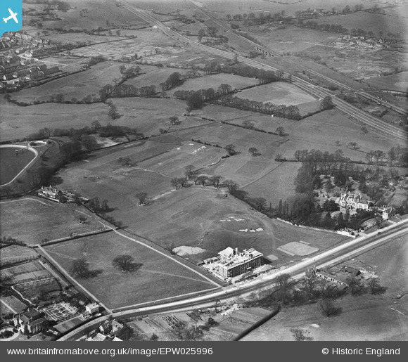
EPW025996 ENGLAND (1929). Hanger Hill Park and Greystoke Court under construction, Ealing, 1929
© Copyright OpenStreetMap contributors and licensed by the OpenStreetMap Foundation. 2026. Cartography is licensed as CC BY-SA.
Nearby Images (22)
EPW025996

EPW025997

EPW025991

EPW025990

EPW025994

EPW025998

EPW025989

EPW025992

EAW015158

EAW015159

EPW040864

EPW040866

EAW015161

EAW015160

EPW040873

EPW040874

EPW025995

EPW040863

EPW025999

EPW026000

EPW025993

EAW041246

Details
| Title | [EPW025996] Hanger Hill Park and Greystoke Court under construction, Ealing, 1929 |
| Reference | EPW025996 |
| Date | 6-April-1929 |
| Link | |
| Place name | EALING |
| Parish | |
| District | |
| Country | ENGLAND |
| Easting / Northing | 518300, 182295 |
| Longitude / Latitude | -0.29448568436835, 51.526679366413 |
| National Grid Reference | TQ183823 |
Pins

User Comment Contributions
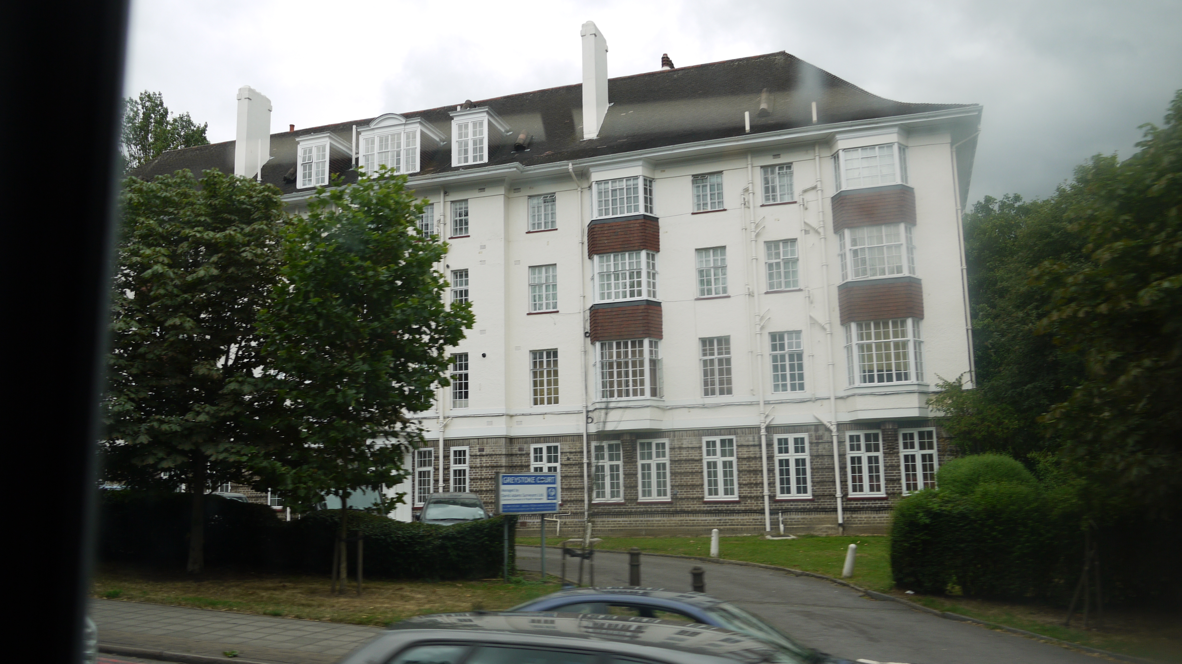
From a bus. Greystoke Court, Hanger Lane, 22/07/2015 |

Class31 |
Friday 24th of July 2015 01:26:01 PM |