
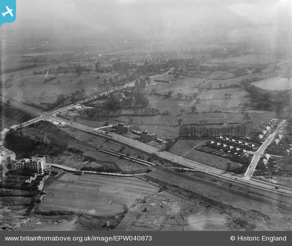
EPW040873 ENGLAND (1933). Western Avenue and Hanger Hill, Ealing, 1933
© Copyright OpenStreetMap contributors and licensed by the OpenStreetMap Foundation. 2026. Cartography is licensed as CC BY-SA.
Nearby Images (16)
EPW040873

EPW040874

EPW040863

EPW040865

EPW040772

EAW015158

EPW025997

EPW025991

EPW025996

EAW015159

EPW040866

EPW025990

EPW025992

EAW015160

EPW040864

EAW015161

Details
| Title | [EPW040873] Western Avenue and Hanger Hill, Ealing, 1933 |
| Reference | EPW040873 |
| Date | March-1933 |
| Link | |
| Place name | EALING |
| Parish | |
| District | |
| Country | ENGLAND |
| Easting / Northing | 518313, 182536 |
| Longitude / Latitude | -0.29421738496889, 51.528842864973 |
| National Grid Reference | TQ183825 |
Pins

MS |
Monday 13th of January 2025 02:38:24 PM | |
|
MS |
Monday 13th of January 2025 02:35:38 PM | |
|
MS |
Monday 13th of January 2025 02:35:24 PM | |
|
MS |
Monday 13th of January 2025 02:35:11 PM | |
|
MS |
Monday 13th of January 2025 02:34:55 PM | |
|
MS |
Monday 13th of January 2025 02:15:34 PM | |
|
Leslie B |
Tuesday 23rd of February 2016 04:59:18 PM | |

Class31 |
Monday 24th of March 2014 11:43:20 AM | |
|
Iain Mackinnon |
Thursday 26th of December 2013 01:04:43 PM |
