
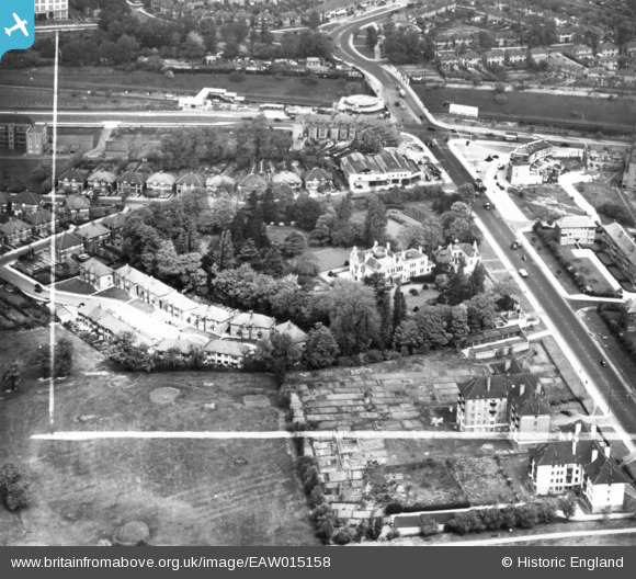
EAW015158 ENGLAND (1948). Greystoke House, Sandall Close, Hanger Lane and environs, Ealing, 1948. This image has been produced from a print marked by Aerofilms Ltd for photo editing.
© Copyright OpenStreetMap contributors and licensed by the OpenStreetMap Foundation. 2026. Cartography is licensed as CC BY-SA.
Nearby Images (22)
EAW015158

EAW015159

EPW040866

EAW015160

EPW025992

EPW040864

EAW015161

EPW025990

EPW025991

EPW025994

EPW040863

EPW025989

EPW040865

EPW025996

EPW025995

EPW025997

EPW025999

EPW025993

EPW026000

EPW025998

EPW040873

EPW040874

Details
| Title | [EAW015158] Greystoke House, Sandall Close, Hanger Lane and environs, Ealing, 1948. This image has been produced from a print marked by Aerofilms Ltd for photo editing. |
| Reference | EAW015158 |
| Date | 5-May-1948 |
| Link | |
| Place name | EALING |
| Parish | |
| District | |
| Country | ENGLAND |
| Easting / Northing | 518471, 182373 |
| Longitude / Latitude | -0.29199533951588, 51.52734461075 |
| National Grid Reference | TQ185824 |
Pins
Be the first to add a comment to this image!