
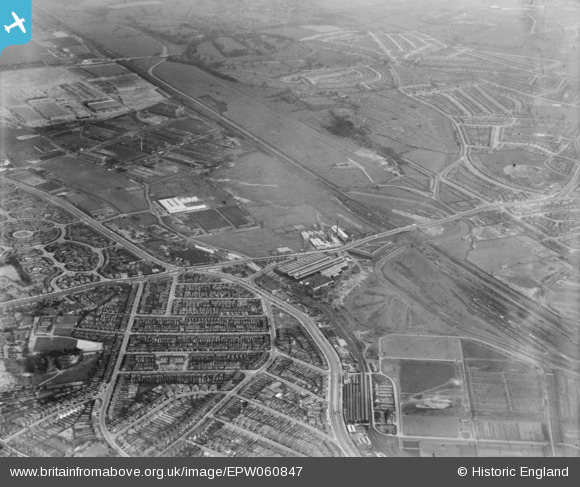
EPW060847 ENGLAND (1939). The Bromford Tube Co Works, the Birmingham Race Course and the surrounding residential area, Bromford, 1939
© Hawlfraint cyfranwyr OpenStreetMap a thrwyddedwyd gan yr OpenStreetMap Foundation. 2026. Trwyddedir y gartograffeg fel CC BY-SA.
Delweddau cyfagos (17)
EPW060847

EPW060846

EPW060844

EPW060841

EPW060845

EPW031996

EPW031995

EPW060842

EPW060848

EPW031998

EPW031994

EPW060840

EPW031993

EPW060838

EPW031999

EPW032000

EPW031998A

Manylion
| Pennawd | [EPW060847] The Bromford Tube Co Works, the Birmingham Race Course and the surrounding residential area, Bromford, 1939 |
| Cyfeirnod | EPW060847 |
| Dyddiad | 25-April-1939 |
| Dolen | |
| Enw lle | BROMFORD |
| Plwyf | |
| Ardal | |
| Gwlad | ENGLAND |
| Dwyreiniad / Gogleddiad | 411624, 290008 |
| Hydred / Lledred | -1.8287187767907, 52.507476297112 |
| Cyfeirnod Grid Cenedlaethol | SP116900 |
Pinnau
Byddwch y cyntaf i ychwanegu sylw at y ddelwedd hon!