
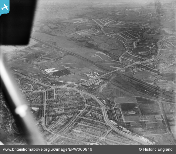
EPW060846 ENGLAND (1939). The Bromford Tube Co Works, the Birmingham Race Course and the surrounding residential area, Bromford, 1939
© Hawlfraint cyfranwyr OpenStreetMap a thrwyddedwyd gan yr OpenStreetMap Foundation. 2026. Trwyddedir y gartograffeg fel CC BY-SA.
Delweddau cyfagos (12)
EPW060846

EPW060844

EPW060847

EPW060845

EPW060841

EPW060842

EPW060848

EPW031996

EPW031995

EPW060838

EPW060840

EPW031994

Manylion
| Pennawd | [EPW060846] The Bromford Tube Co Works, the Birmingham Race Course and the surrounding residential area, Bromford, 1939 |
| Cyfeirnod | EPW060846 |
| Dyddiad | 25-April-1939 |
| Dolen | |
| Enw lle | BROMFORD |
| Plwyf | |
| Ardal | |
| Gwlad | ENGLAND |
| Dwyreiniad / Gogleddiad | 411629, 289947 |
| Hydred / Lledred | -1.8286472343172, 52.506927743977 |
| Cyfeirnod Grid Cenedlaethol | SP116899 |
Pinnau

Rod |
Monday 17th of February 2014 08:46:22 PM | |
|
Templer |
Friday 6th of September 2013 11:28:02 PM | |
|
Templer |
Friday 6th of September 2013 11:25:48 PM | |
|
Templer |
Friday 6th of September 2013 11:23:25 PM | |
|
Templer |
Friday 6th of September 2013 11:22:44 PM | |
|
Templer |
Friday 6th of September 2013 11:21:48 PM | |
|
Templer |
Friday 6th of September 2013 11:19:18 PM | |
|
Templer |
Friday 6th of September 2013 11:18:10 PM |