
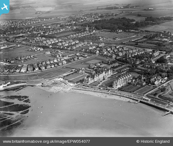
EPW054077 ENGLAND (1937). St Mildred's Bay, St Mildred's Hotel and environs, Westgate-on-Sea, from the north-west, 1937
© Hawlfraint cyfranwyr OpenStreetMap a thrwyddedwyd gan yr OpenStreetMap Foundation. 2026. Trwyddedir y gartograffeg fel CC BY-SA.
Delweddau cyfagos (12)
EPW054077

EPW009157

EPW009156

EPW009158

EPW009160

EPW009159

EPW035479

EPW042856

EPW042855

EPW035478

EPW000623

EAW015837

Manylion
| Pennawd | [EPW054077] St Mildred's Bay, St Mildred's Hotel and environs, Westgate-on-Sea, from the north-west, 1937 |
| Cyfeirnod | EPW054077 |
| Dyddiad | June-1937 |
| Dolen | |
| Enw lle | WESTGATE-ON-SEA |
| Plwyf | |
| Ardal | |
| Gwlad | ENGLAND |
| Dwyreiniad / Gogleddiad | 632770, 170377 |
| Hydred / Lledred | 1.3456840122394, 51.384127522872 |
| Cyfeirnod Grid Cenedlaethol | TR328704 |
Pinnau

Dmk |
Saturday 15th of February 2025 11:35:45 AM |