
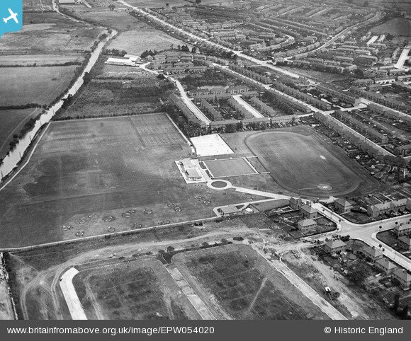
EPW054020 ENGLAND (1937). Southall Municipal Sports Ground and environs, Southall, 1937
© Hawlfraint cyfranwyr OpenStreetMap a thrwyddedwyd gan yr OpenStreetMap Foundation. 2025. Trwyddedir y gartograffeg fel CC BY-SA.
Delweddau cyfagos (8)
EPW054020

EPW054015

EPW054016

EPW054014

EPW054013

EPW054018

EPW054019

EPW054017

Manylion
| Pennawd | [EPW054020] Southall Municipal Sports Ground and environs, Southall, 1937 |
| Cyfeirnod | EPW054020 |
| Dyddiad | June-1937 |
| Dolen | |
| Enw lle | SOUTHALL |
| Plwyf | |
| Ardal | |
| Gwlad | ENGLAND |
| Dwyreiniad / Gogleddiad | 512537, 181135 |
| Hydred / Lledred | -0.3779038776651, 51.517430441771 |
| Cyfeirnod Grid Cenedlaethol | TQ125811 |
Pinnau

Mozzy |
Tuesday 30th of December 2014 07:26:45 PM | |
|
Mozzy |
Saturday 27th of December 2014 06:07:27 PM | |
|
Mozzy |
Saturday 27th of December 2014 06:02:04 PM | |
|
Gordon Wilson |
Monday 16th of September 2013 09:45:43 PM | |
Durdans Dock, I think. Served the Southall Terracotta brick works. |
Mozzy |
Tuesday 25th of October 2016 06:11:59 PM |
|
Gordon Wilson |
Monday 16th of September 2013 09:43:29 PM | |
|
Gordon Wilson |
Monday 16th of September 2013 09:42:26 PM | |
|
Gordon Wilson |
Monday 16th of September 2013 09:40:31 PM | |
|
Gordon Wilson |
Monday 16th of September 2013 09:36:03 PM | |
|
Jim Few |
Sunday 1st of September 2013 02:14:44 PM |