
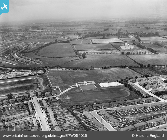
EPW054015 ENGLAND (1937). Southall Municipal Sports Ground and environs, Southall, from the south-east, 1937
© Hawlfraint cyfranwyr OpenStreetMap a thrwyddedwyd gan yr OpenStreetMap Foundation. 2025. Trwyddedir y gartograffeg fel CC BY-SA.
Delweddau cyfagos (8)
EPW054015

EPW054020

EPW054016

EPW054013

EPW054014

EPW054018

EPW054019

EPW054017

Manylion
| Pennawd | [EPW054015] Southall Municipal Sports Ground and environs, Southall, from the south-east, 1937 |
| Cyfeirnod | EPW054015 |
| Dyddiad | June-1937 |
| Dolen | |
| Enw lle | SOUTHALL |
| Plwyf | |
| Ardal | |
| Gwlad | ENGLAND |
| Dwyreiniad / Gogleddiad | 512512, 181121 |
| Hydred / Lledred | -0.37826854002507, 51.517309578527 |
| Cyfeirnod Grid Cenedlaethol | TQ125811 |
Pinnau

Mozzy |
Saturday 27th of December 2014 06:15:36 PM |