
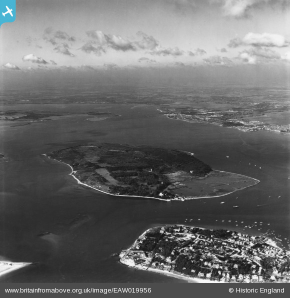
EAW019956 ENGLAND (1948). Sandbanks, Brownsea Island and Poole Harbour, Brownsea Island, from the south-east, 1948. This image has been produced from a print.
© Hawlfraint cyfranwyr OpenStreetMap a thrwyddedwyd gan yr OpenStreetMap Foundation. 2026. Trwyddedir y gartograffeg fel CC BY-SA.
Delweddau cyfagos (9)
EAW019956

EAW010963

EPW000260

EPW000275

EAW010966

EPW000259

EAW010965

EAW010967

EAW010964

Manylion
| Pennawd | [EAW019956] Sandbanks, Brownsea Island and Poole Harbour, Brownsea Island, from the south-east, 1948. This image has been produced from a print. |
| Cyfeirnod | EAW019956 |
| Dyddiad | 19-October-1948 |
| Dolen | |
| Enw lle | BROWNSEA ISLAND |
| Plwyf | STUDLAND |
| Ardal | |
| Gwlad | ENGLAND |
| Dwyreiniad / Gogleddiad | 403121, 87414 |
| Hydred / Lledred | -1.9558155379518, 50.685793641317 |
| Cyfeirnod Grid Cenedlaethol | SZ031874 |
Pinnau


Cyfraniadau Grŵp
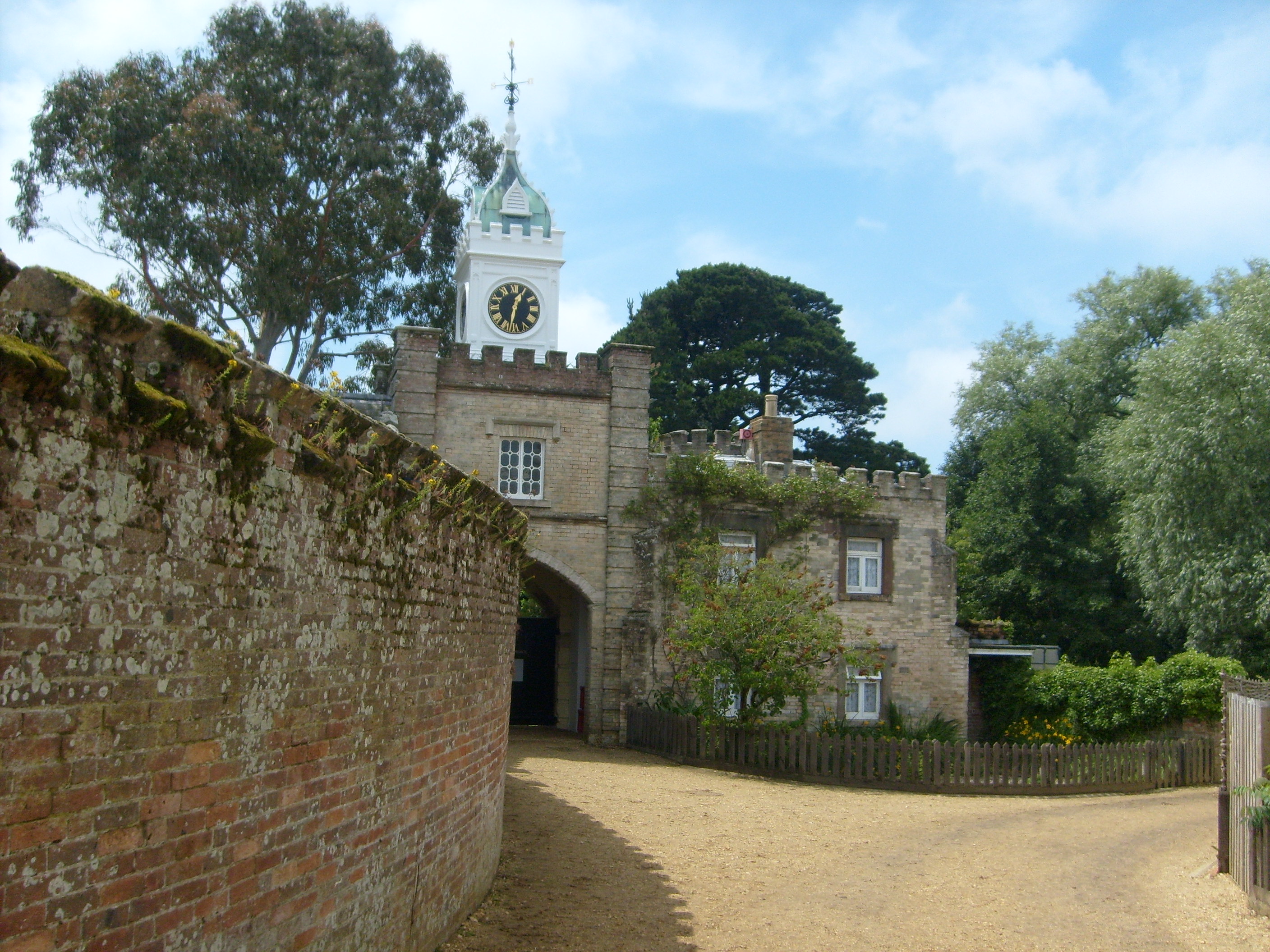
Brownsea Island, 26/06/2009 |

Class31 |
Monday 10th of November 2014 12:46:26 PM |
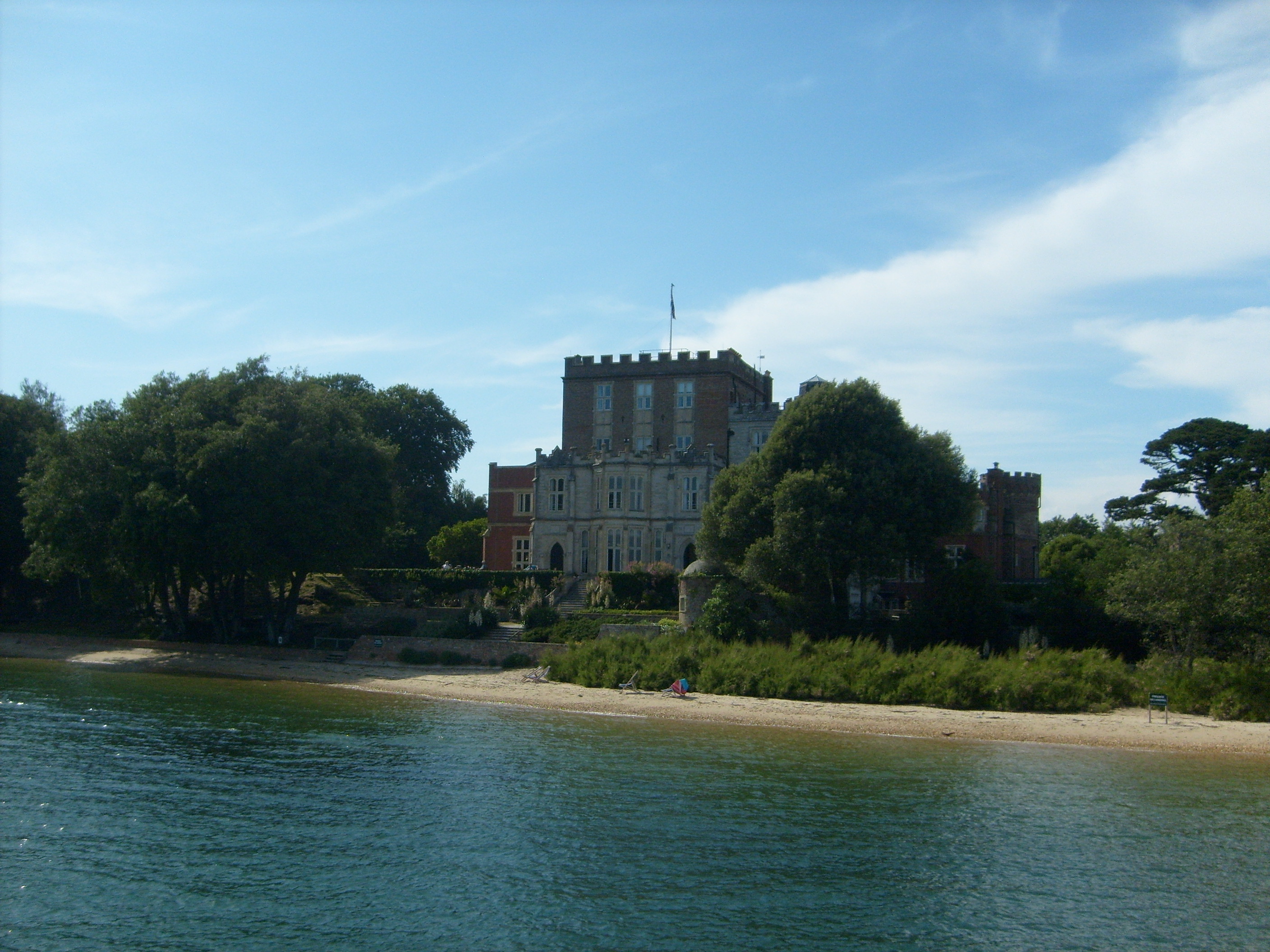
Brownsea Island, 26/06/2009 |
Class31 |
Monday 10th of November 2014 12:28:31 PM |
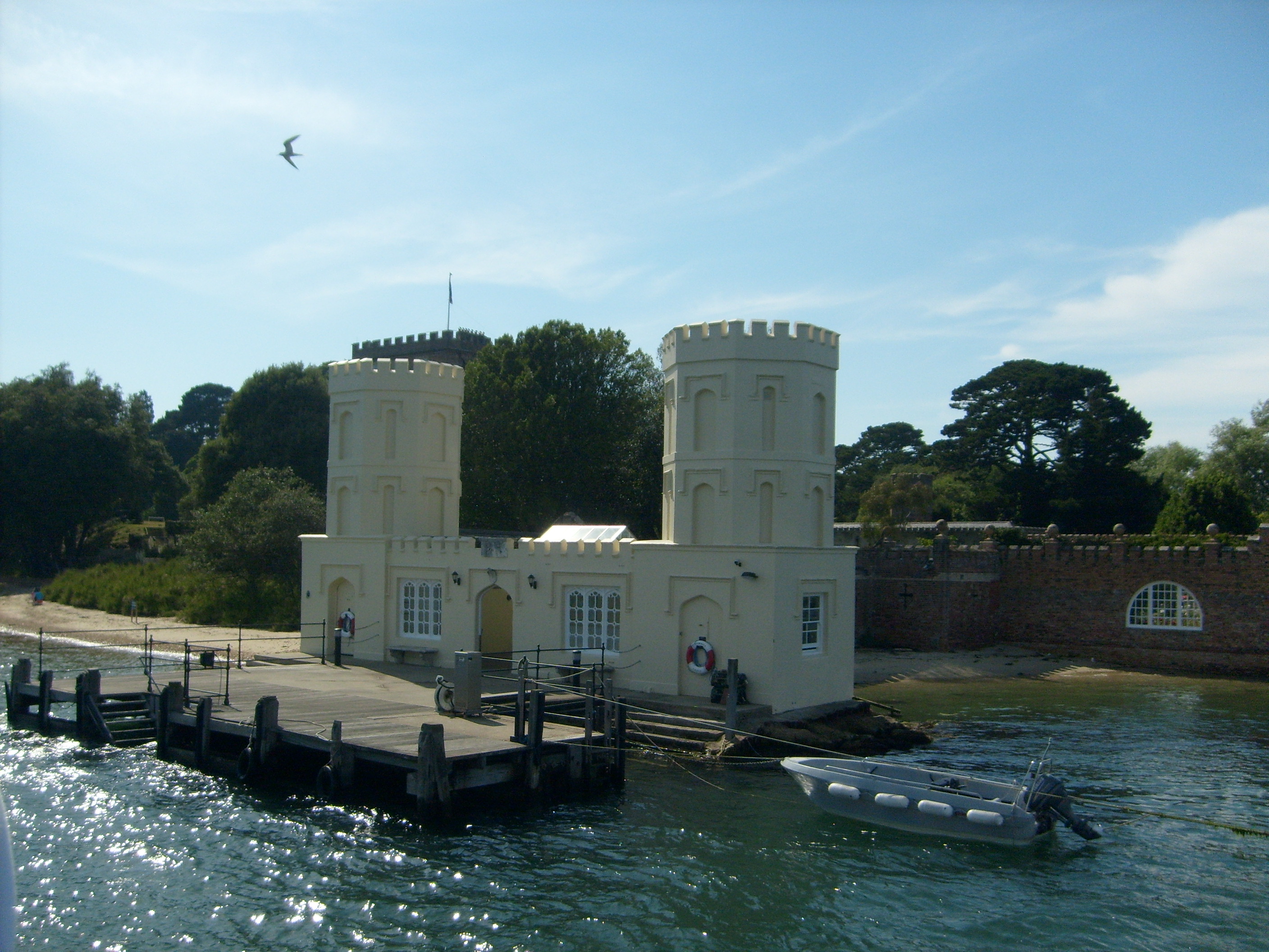
Brownsea Island, 26/06/2009 |
Class31 |
Monday 10th of November 2014 12:28:02 PM |

Brownsea Island, 26/06/2009 |
Class31 |
Monday 10th of November 2014 12:27:00 PM |