
EAW010966 ENGLAND (1947). Branksea Castle, Brownsea Island, 1947. This image has been produced from a print.

© Hawlfraint cyfranwyr OpenStreetMap a thrwyddedwyd gan yr OpenStreetMap Foundation. 2026. Trwyddedir y gartograffeg fel CC BY-SA.
Delweddau cyfagos (11)
EAW010966

EPW000275

EAW010963

EAW010965

EAW010967

EAW010964

EPW000259

EPW000260

EAW019956

EPW041057

EPW041058

Manylion
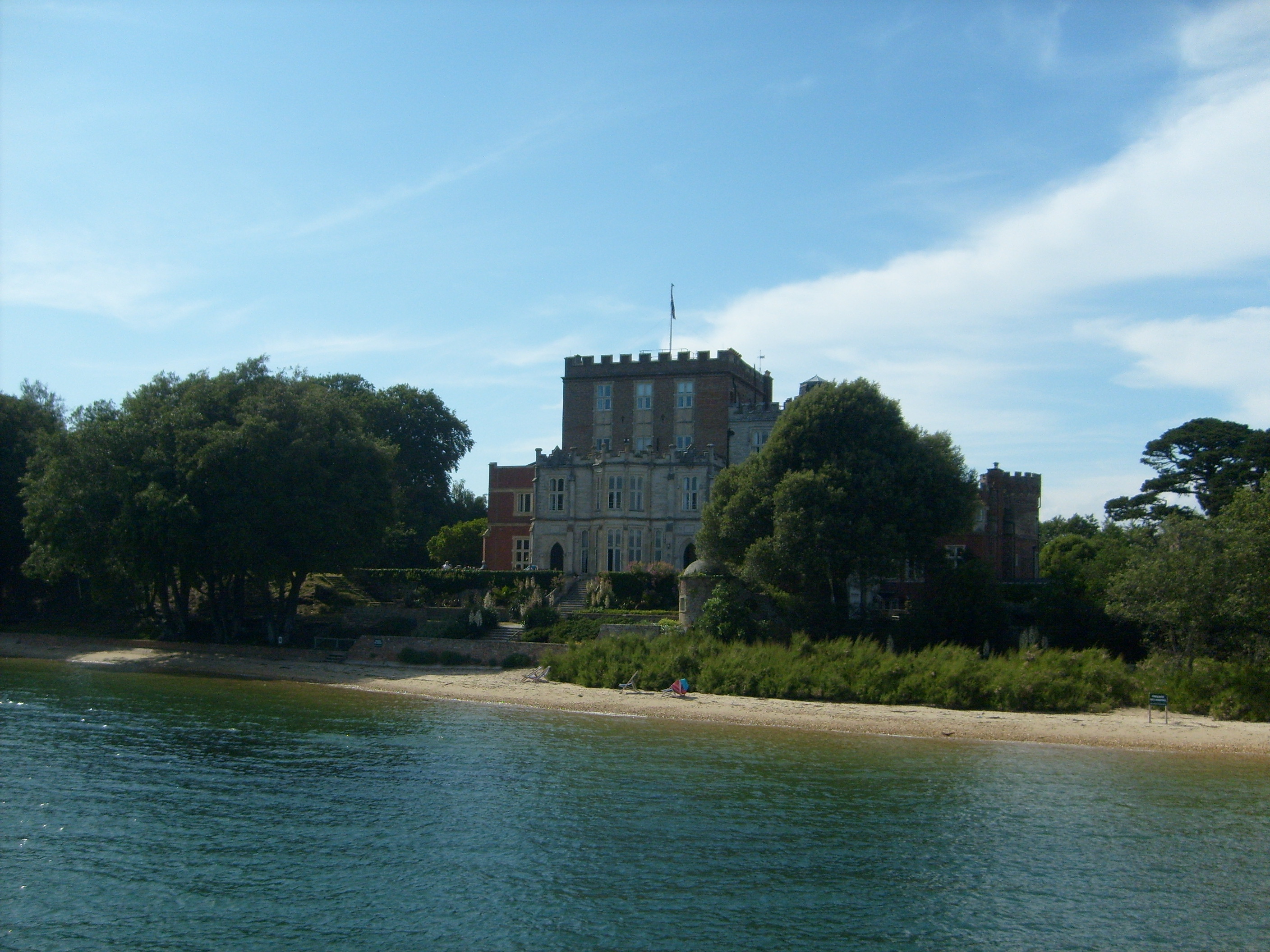
| Pennawd | [EAW010966] Branksea Castle, Brownsea Island, 1947. This image has been produced from a print. |
| Cyfeirnod | EAW010966 |
| Dyddiad | 24-September-1947 |
| Dolen | |
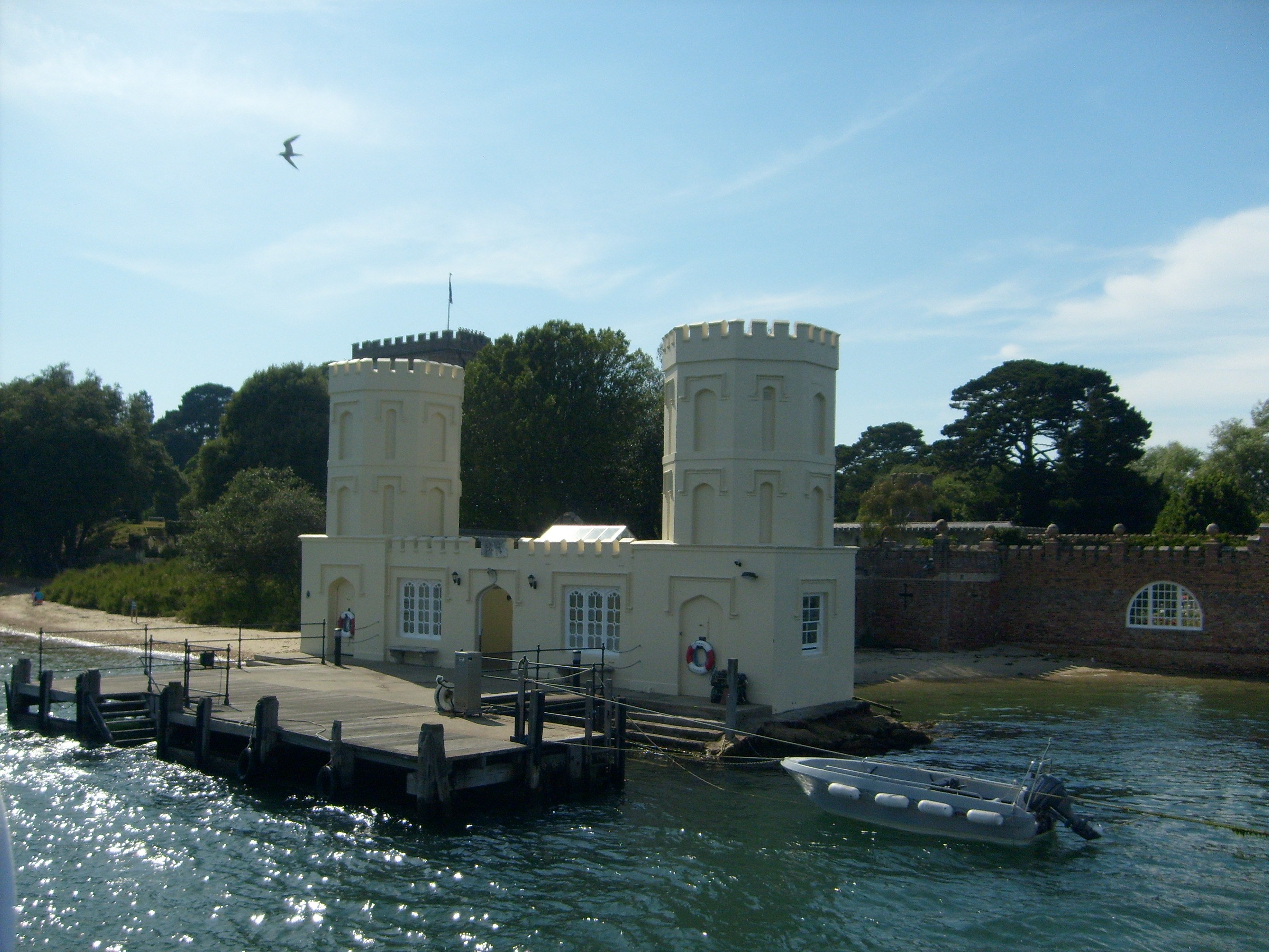
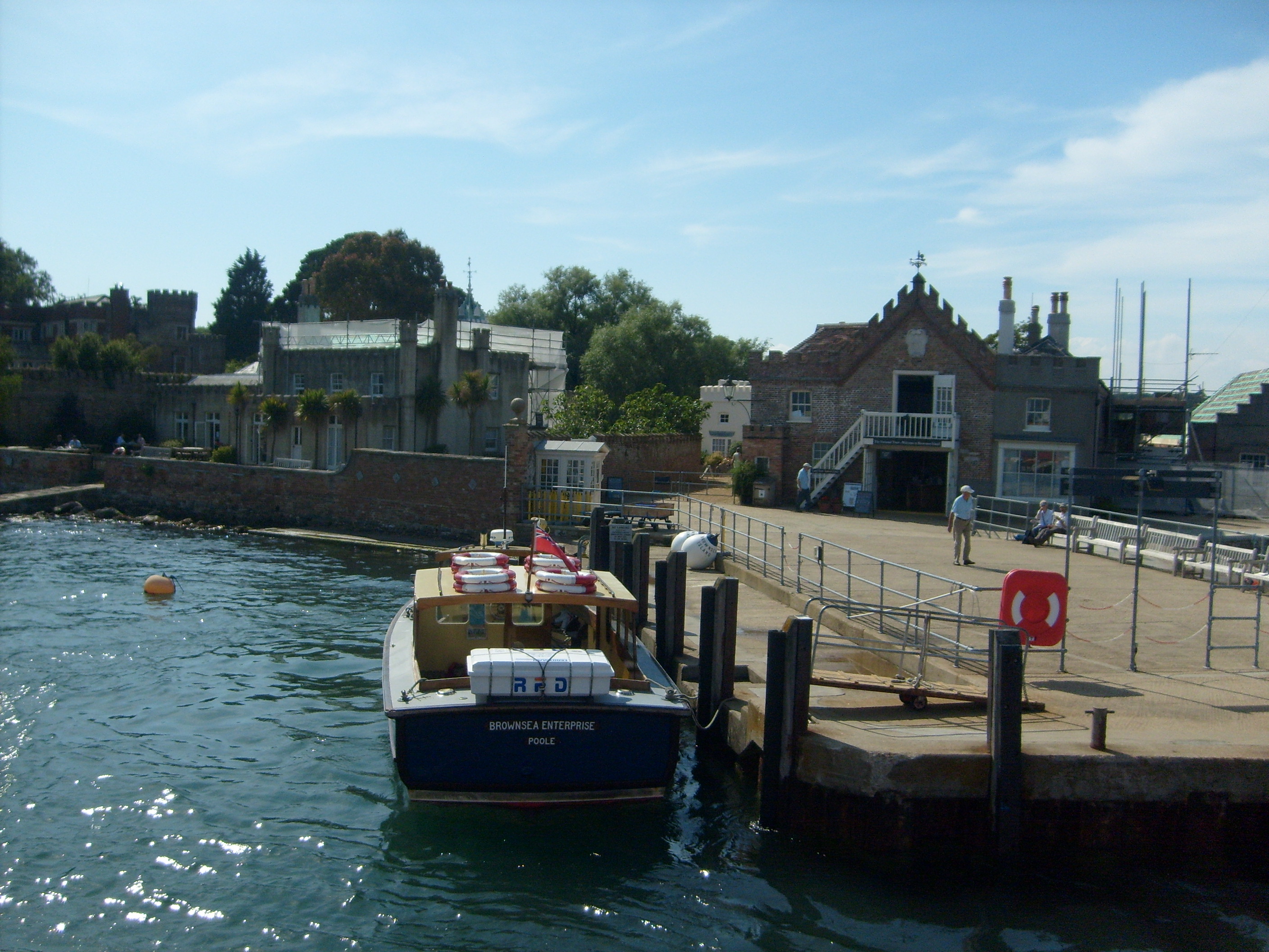
| Enw lle | BROWNSEA ISLAND |
| Plwyf | STUDLAND |
| Ardal | |
| Gwlad | ENGLAND |
| Dwyreiniad / Gogleddiad | 403088, 87623 |
| Hydred / Lledred | -1.9562809769408, 50.687673512865 |
| Cyfeirnod Grid Cenedlaethol | SZ031876 |
Pinnau

Matt Aldred edob.mattaldred.com |
Thursday 12th of November 2020 09:12:14 PM | |

redmist |
Sunday 9th of August 2020 09:57:51 AM |
Cyfraniadau Grŵp

Brownsea Island, 26/06/2009 |

Class31 |
Monday 10th of November 2014 12:47:35 PM |
Branksea Castle, Brownsea Island, 26/06/2009 |
Class31 |
Monday 10th of November 2014 12:42:15 PM |
Brownsea Island, 26/06/2009 |
Class31 |
Monday 10th of November 2014 12:41:20 PM |
Brownsea Island, 26/06/2009 |
Class31 |
Monday 10th of November 2014 12:40:58 PM |