
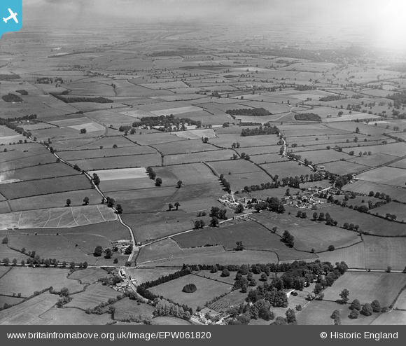
EPW061820 ENGLAND (1939). Countryside between Cirencester and Ampneyfield, Preston, from the south-west, 1939
© Copyright OpenStreetMap contributors and licensed by the OpenStreetMap Foundation. 2025. Cartography is licensed as CC BY-SA.
Nearby Images (9)
EPW061820

EPW061823

EPW061815

EPW061817

EPW061812

EPW061816

EPW061824

EPW061825

EPW061827

Details
| Title | [EPW061820] Countryside between Cirencester and Ampneyfield, Preston, from the south-west, 1939 |
| Reference | EPW061820 |
| Date | 8-June-1939 |
| Link | |
| Place name | PRESTON |
| Parish | PRESTON |
| District | |
| Country | ENGLAND |
| Easting / Northing | 404157, 200724 |
| Longitude / Latitude | -1.9398360893075, 51.704780753952 |
| National Grid Reference | SP042007 |
Pins
Be the first to add a comment to this image!