
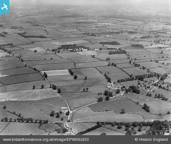
EPW061823 ENGLAND (1939). Countryside between Cirencester and Ampneyfield, Preston, from the south-west, 1939
© Copyright OpenStreetMap contributors and licensed by the OpenStreetMap Foundation. 2025. Cartography is licensed as CC BY-SA.
Nearby Images (7)
EPW061823

EPW061820

EPW061815

EPW061817

EPW061816

EPW061812

EPW061825

Details
| Title | [EPW061823] Countryside between Cirencester and Ampneyfield, Preston, from the south-west, 1939 |
| Reference | EPW061823 |
| Date | 8-June-1939 |
| Link | |
| Place name | PRESTON |
| Parish | PRESTON |
| District | |
| Country | ENGLAND |
| Easting / Northing | 404078, 200719 |
| Longitude / Latitude | -1.9409795074933, 51.704736372887 |
| National Grid Reference | SP041007 |
Pins
Lynda Tubbs |
Wednesday 4th of December 2013 12:07:32 PM | |
Lynda Tubbs |
Wednesday 4th of December 2013 12:07:02 PM | |
Lynda Tubbs |
Wednesday 4th of December 2013 11:41:14 AM |