
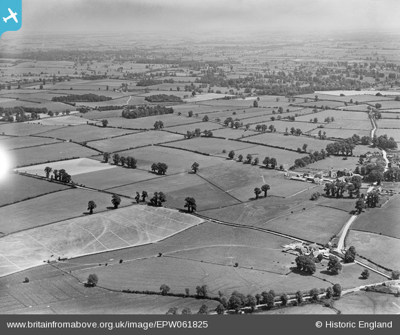
EPW061825 ENGLAND (1939). Countryside between Cirencester and Ampneyfield, Preston, from the south-west, 1939
© Copyright OpenStreetMap contributors and licensed by the OpenStreetMap Foundation. 2025. Cartography is licensed as CC BY-SA.
Nearby Images (7)
EPW061825

EPW061815

EPW061812

EPW061817

EPW061816

EPW061823

EPW061820

Details
| Title | [EPW061825] Countryside between Cirencester and Ampneyfield, Preston, from the south-west, 1939 |
| Reference | EPW061825 |
| Date | 8-June-1939 |
| Link | |
| Place name | PRESTON |
| Parish | PRESTON |
| District | |
| Country | ENGLAND |
| Easting / Northing | 403939, 200923 |
| Longitude / Latitude | -1.9429889340202, 51.706571772289 |
| National Grid Reference | SP039009 |
Pins
Be the first to add a comment to this image!