
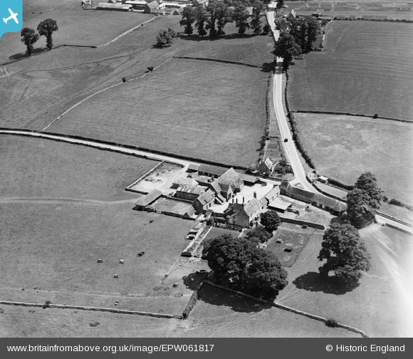
EPW061817 ENGLAND (1939). Preston Forty, Preston, 1939
© Copyright OpenStreetMap contributors and licensed by the OpenStreetMap Foundation. 2025. Cartography is licensed as CC BY-SA.
Nearby Images (7)
EPW061817

EPW061816

EPW061815

EPW061823

EPW061820

EPW061825

EPW061812

Details
| Title | [EPW061817] Preston Forty, Preston, 1939 |
| Reference | EPW061817 |
| Date | 8-June-1939 |
| Link | |
| Place name | PRESTON |
| Parish | PRESTON |
| District | |
| Country | ENGLAND |
| Easting / Northing | 403953, 200710 |
| Longitude / Latitude | -1.9427887212768, 51.704656337984 |
| National Grid Reference | SP040007 |
Pins
Lynda Tubbs |
Wednesday 4th of December 2013 12:21:07 PM | |
Lynda Tubbs |
Wednesday 4th of December 2013 12:20:41 PM |