
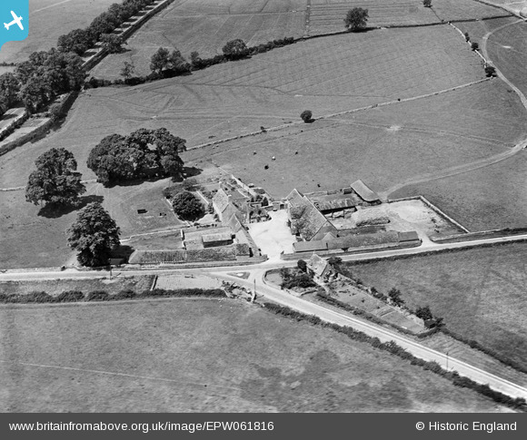
EPW061816 ENGLAND (1939). Preston Forty, Preston, 1939
© Copyright OpenStreetMap contributors and licensed by the OpenStreetMap Foundation. 2025. Cartography is licensed as CC BY-SA.
Nearby Images (7)
EPW061816

EPW061817

EPW061815

EPW061823

EPW061825

EPW061820

EPW061812

Details
| Title | [EPW061816] Preston Forty, Preston, 1939 |
| Reference | EPW061816 |
| Date | 8-June-1939 |
| Link | |
| Place name | PRESTON |
| Parish | PRESTON |
| District | |
| Country | ENGLAND |
| Easting / Northing | 403913, 200687 |
| Longitude / Latitude | -1.9433678942329, 51.704449798095 |
| National Grid Reference | SP039007 |
Pins
Lynda Tubbs |
Wednesday 4th of December 2013 12:27:50 PM | |
Lynda Tubbs |
Wednesday 4th of December 2013 12:22:15 PM |