
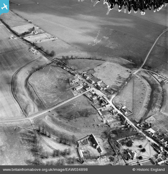
EAW034898 ENGLAND (1951). The henge and village, Avebury, 1951. This image has been produced from a damaged negative.
© Copyright OpenStreetMap contributors and licensed by the OpenStreetMap Foundation. 2026. Cartography is licensed as CC BY-SA.
Nearby Images (15)
EAW034898

EAW034899

EAW007057

EAW007055

EAW007046

EAW034897

EAW007049

EAW007056

EAW007047

EAW007048

EAW007058

EAW049153

EAW049152

EAW049154

EAW049151

Details
| Title | [EAW034898] The henge and village, Avebury, 1951. This image has been produced from a damaged negative. |
| Reference | EAW034898 |
| Date | 12-March-1951 |
| Link | |
| Place name | AVEBURY |
| Parish | AVEBURY |
| District | |
| Country | ENGLAND |
| Easting / Northing | 410289, 169982 |
| Longitude / Latitude | -1.8519887302545, 51.428258211426 |
| National Grid Reference | SU103700 |
Pins
Be the first to add a comment to this image!