
EAW007047 ENGLAND (1947). Avebury Henge and Stone Circles surrounding the village, Avebury, 1947

© Copyright OpenStreetMap contributors and licensed by the OpenStreetMap Foundation. 2026. Cartography is licensed as CC BY-SA.
Nearby Images (15)
EAW007047

EAW007048

EAW007058

EAW049152

EAW049153

EAW007056

EAW007057

EAW034897

EAW034899

EAW007046

EAW007055

EAW034898

EAW007049

EPW011118

EAW007054

Details
| Title | [EAW007047] Avebury Henge and Stone Circles surrounding the village, Avebury, 1947 |
| Reference | EAW007047 |
| Date | 11-June-1947 |
| Link | |
| Place name | AVEBURY |
| Parish | AVEBURY |
| District | |
| Country | ENGLAND |
| Easting / Northing | 410180, 170085 |
| Longitude / Latitude | -1.8535537712172, 51.429186417105 |
| National Grid Reference | SU102701 |
Pins

Class31 |
Tuesday 9th of December 2014 03:55:07 PM |

User Comment Contributions
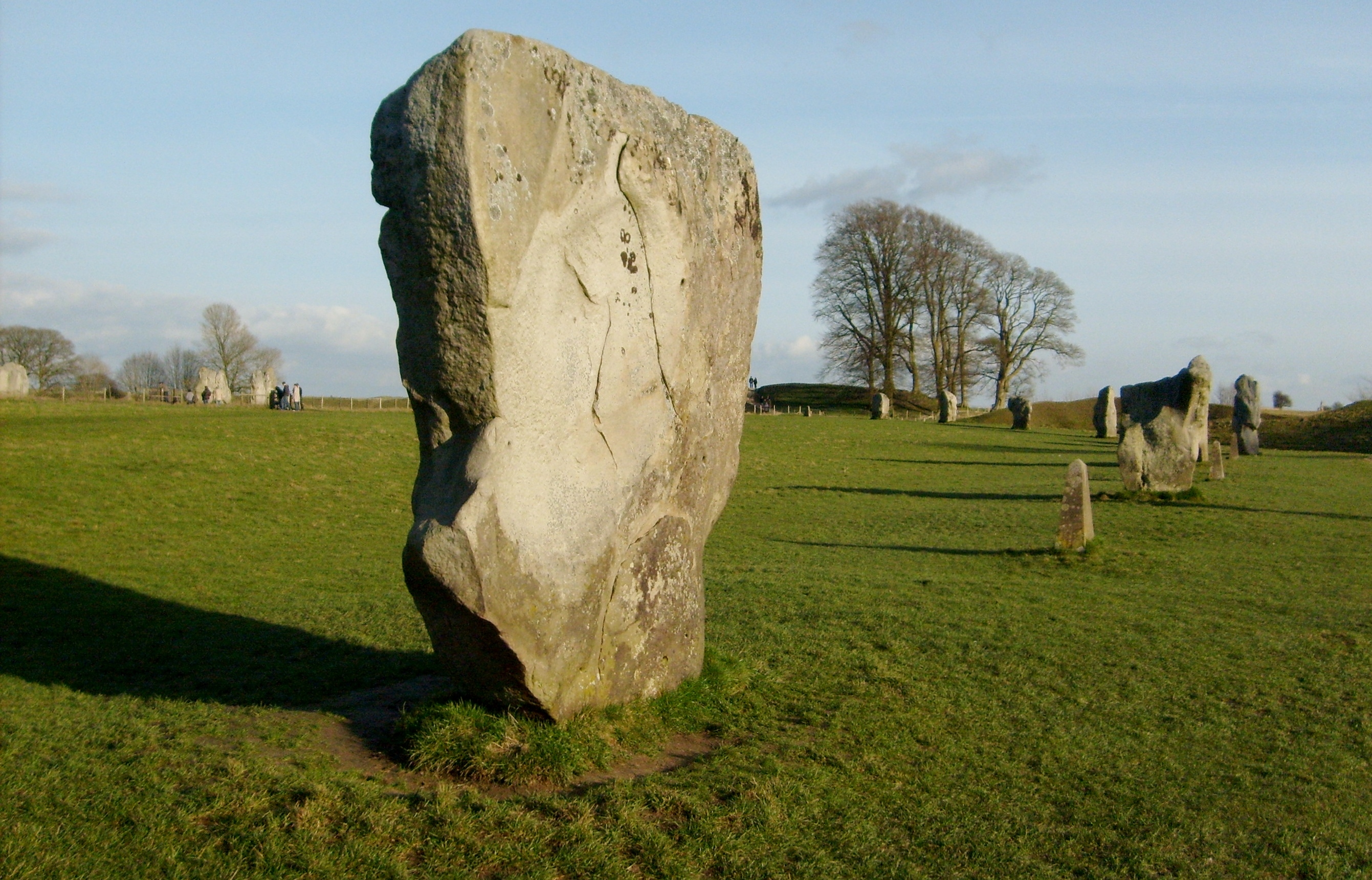
Looking south east, Avebury, 28/12/2007 |
Class31 |
Thursday 29th of May 2014 07:48:07 AM |