
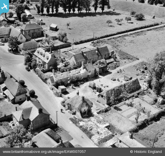
EAW007057 ENGLAND (1947). The village, Avebury, 1947
© Copyright OpenStreetMap contributors and licensed by the OpenStreetMap Foundation. 2026. Cartography is licensed as CC BY-SA.
Nearby Images (15)
EAW007057

EAW034899

EAW007046

EAW034897

EAW007055

EAW034898

EAW007056

EAW007049

EAW007048

EAW007047

EAW007058

EAW049153

EAW049152

EAW049154

EAW049151

Details
| Title | [EAW007057] The village, Avebury, 1947 |
| Reference | EAW007057 |
| Date | 11-June-1947 |
| Link | |
| Place name | AVEBURY |
| Parish | AVEBURY |
| District | |
| Country | ENGLAND |
| Easting / Northing | 410262, 169995 |
| Longitude / Latitude | -1.8523767576653, 51.428375604799 |
| National Grid Reference | SU103700 |
Pins

Class31 |
Tuesday 9th of December 2014 03:58:12 PM |

User Comment Contributions
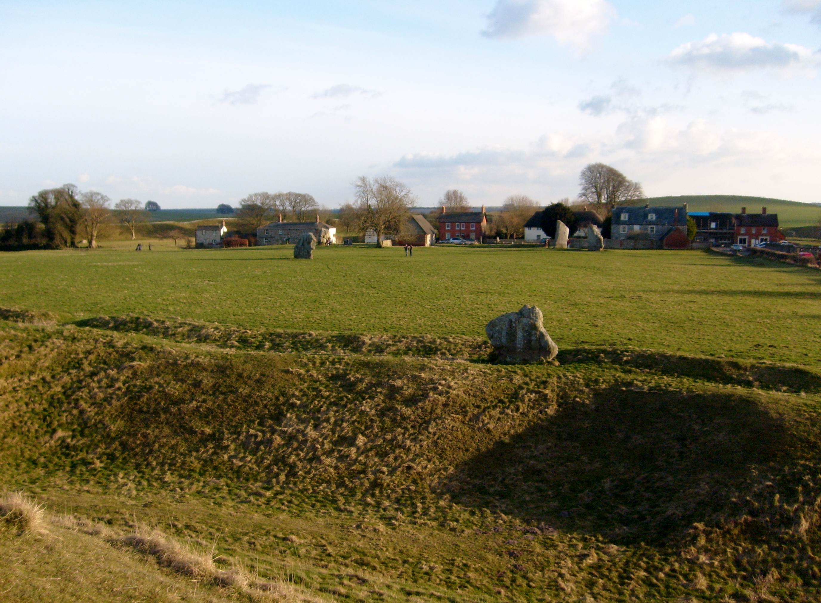
Avebury 28/12/2007 |
Class31 |
Tuesday 25th of February 2014 10:56:18 AM |