
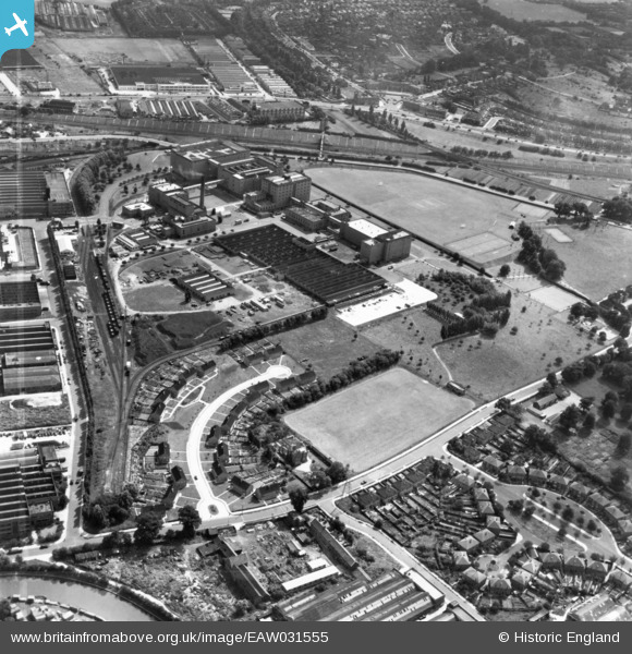
EAW031555 ENGLAND (1950). The Guinness Brewery, Moyne Place and environs, Park Royal, 1950. This image has been produced from a print marked by Aerofilms Ltd for photo editing.
© Copyright OpenStreetMap contributors and licensed by the OpenStreetMap Foundation. 2026. Cartography is licensed as CC BY-SA.
Nearby Images (24)
EAW031555

EPW041856

EPW041855

EAW031554

EPW041854

EPW041859

EPW041849

EPW041851

EAW031552

EPW041844

EPW041857

EPW041852

EPW041850

EAW031544

EPW041860

EAW031549

EPW055718

EPW052702

EAW031550

EPW048435

EAW031553

EAW031551

EAW031548

EAW031543

Details
| Title | [EAW031555] The Guinness Brewery, Moyne Place and environs, Park Royal, 1950. This image has been produced from a print marked by Aerofilms Ltd for photo editing. |
| Reference | EAW031555 |
| Date | 31-July-1950 |
| Link | |
| Place name | PARK ROYAL |
| Parish | |
| District | |
| Country | ENGLAND |
| Easting / Northing | 519305, 182891 |
| Longitude / Latitude | -0.2798018015742, 51.531824982177 |
| National Grid Reference | TQ193829 |
Pins

roadrunner66 |
Wednesday 29th of October 2025 01:03:58 PM | |
|
roadrunner66 |
Wednesday 29th of October 2025 12:57:09 PM |