
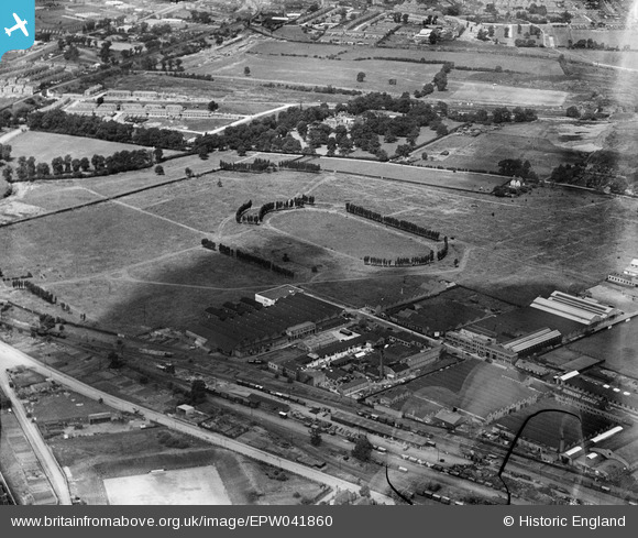
EPW041860 ENGLAND (1933). The Horse Ring football ground, Park Royal, 1933. This image has been produced from a damaged negative.
© Copyright OpenStreetMap contributors and licensed by the OpenStreetMap Foundation. 2026. Cartography is licensed as CC BY-SA.
Nearby Images (48)
EPW041860

EPW041857

EPW041850

EPW048435

EPW041852

EPW041851

EAW031552

EPW041849

EAW031549

EPW041844

EPW041854

EPW041859

EAW031544

EPW041855

EAW031554

EPW041856

EPW052702

EAW031551

EPW033750

EPW033809

EPW055630

EPW033751

EAW017049

EAW031555

EPW033807

EPW033806

EPW055632

EPW055718

EPW033805

EPW033808

EPW055631

EPW033748

EAW031546

EPW048434

EAW017048

EAW017047

EAW031547

EPW033752

EAW017050

EPW055633

EAW017053

EAW017046

EAW031548

EAW031553

EAW031543

EAW031542

EPR000519

EAW031545

Details
| Title | [EPW041860] The Horse Ring football ground, Park Royal, 1933. This image has been produced from a damaged negative. |
| Reference | EPW041860 |
| Date | June-1933 |
| Link | |
| Place name | PARK ROYAL |
| Parish | |
| District | |
| Country | ENGLAND |
| Easting / Northing | 519443, 182772 |
| Longitude / Latitude | -0.2778533869773, 51.530726180035 |
| National Grid Reference | TQ194828 |
Pins

Class31 |
Wednesday 19th of August 2015 09:17:40 AM |