
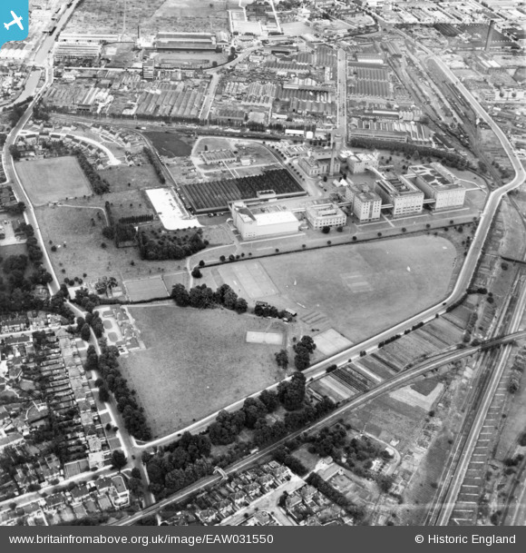
EAW031550 ENGLAND (1950). The Guinness Brewery and environs, Park Royal, 1950. This image has been produced from a print marked by Aerofilms Ltd for photo editing.
© Copyright OpenStreetMap contributors and licensed by the OpenStreetMap Foundation. 2026. Cartography is licensed as CC BY-SA.
Nearby Images (28)
EAW031550

EAW031553

EPW055718

EAW031543

EAW031548

EAW031554

EAW031544

EPW041859

EAW031546

EPW041844

EPW041856

EPW041848

EAW031555

EPW041912

EAW031552

EPW041910

EAW031551

EAW031545

EAW031549

EPW041851

EPR000519

EPW041913

EAW031542

EPW041852

EPW041911

EPW048434

EAW031547

EPR000520

Details
| Title | [EAW031550] The Guinness Brewery and environs, Park Royal, 1950. This image has been produced from a print marked by Aerofilms Ltd for photo editing. |
| Reference | EAW031550 |
| Date | 31-July-1950 |
| Link | |
| Place name | PARK ROYAL |
| Parish | |
| District | |
| Country | ENGLAND |
| Easting / Northing | 519136, 182755 |
| Longitude / Latitude | -0.28228336703014, 51.530638251006 |
| National Grid Reference | TQ191828 |
Pins

Leslie B |
Sunday 2nd of December 2018 01:26:45 AM | |
|
Leslie B |
Sunday 2nd of December 2018 01:23:54 AM | |
|
Leslie B |
Sunday 2nd of December 2018 01:18:52 AM | |

Class31 |
Wednesday 19th of August 2015 09:07:47 AM |