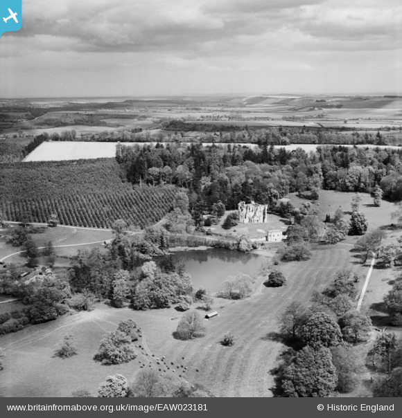
EAW023181 ENGLAND (1949). Wardour Castle and Park, Wardour, from the west, 1949
© Copyright OpenStreetMap contributors and licensed by the OpenStreetMap Foundation. 2026. Cartography is licensed as CC BY-SA.
Nearby Images (11)
EAW023181

EAW023178

EAW023180

EAW005107

EAW005113

EAW005109

EAW005110

EAW005112

EAW005111

EAW023179

EAW005106

Details
| Title | [EAW023181] Wardour Castle and Park, Wardour, from the west, 1949 |
| Reference | EAW023181 |
| Date | 6-May-1949 |
| Link | |
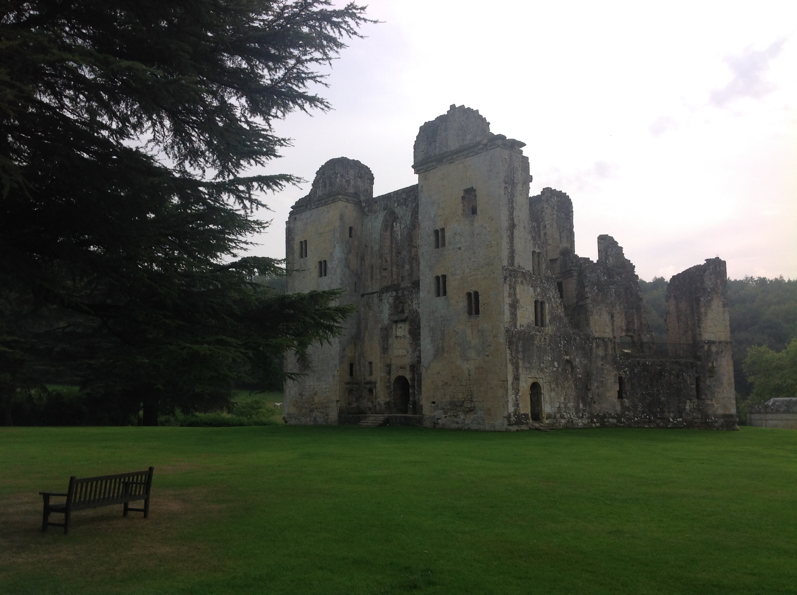
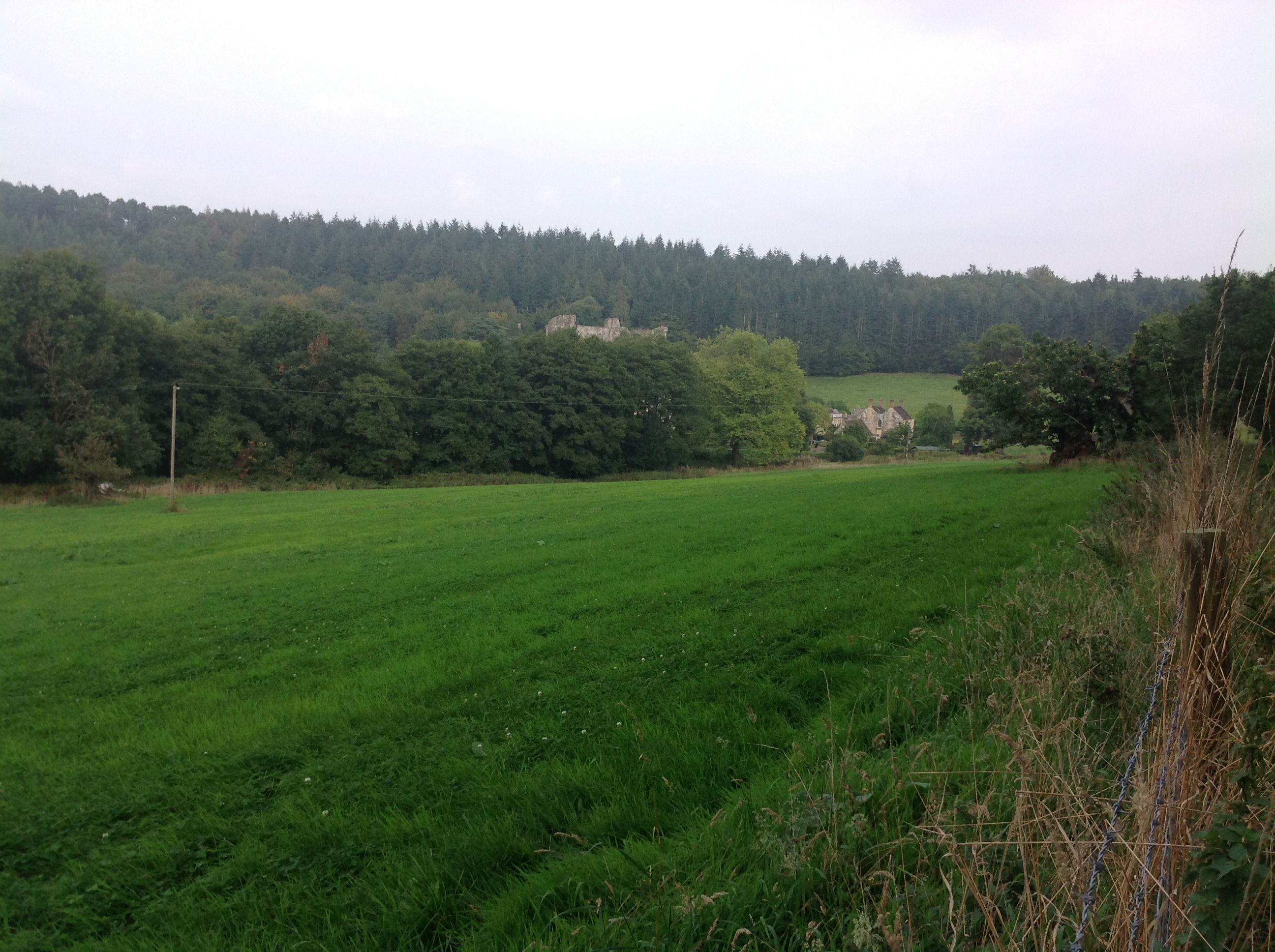
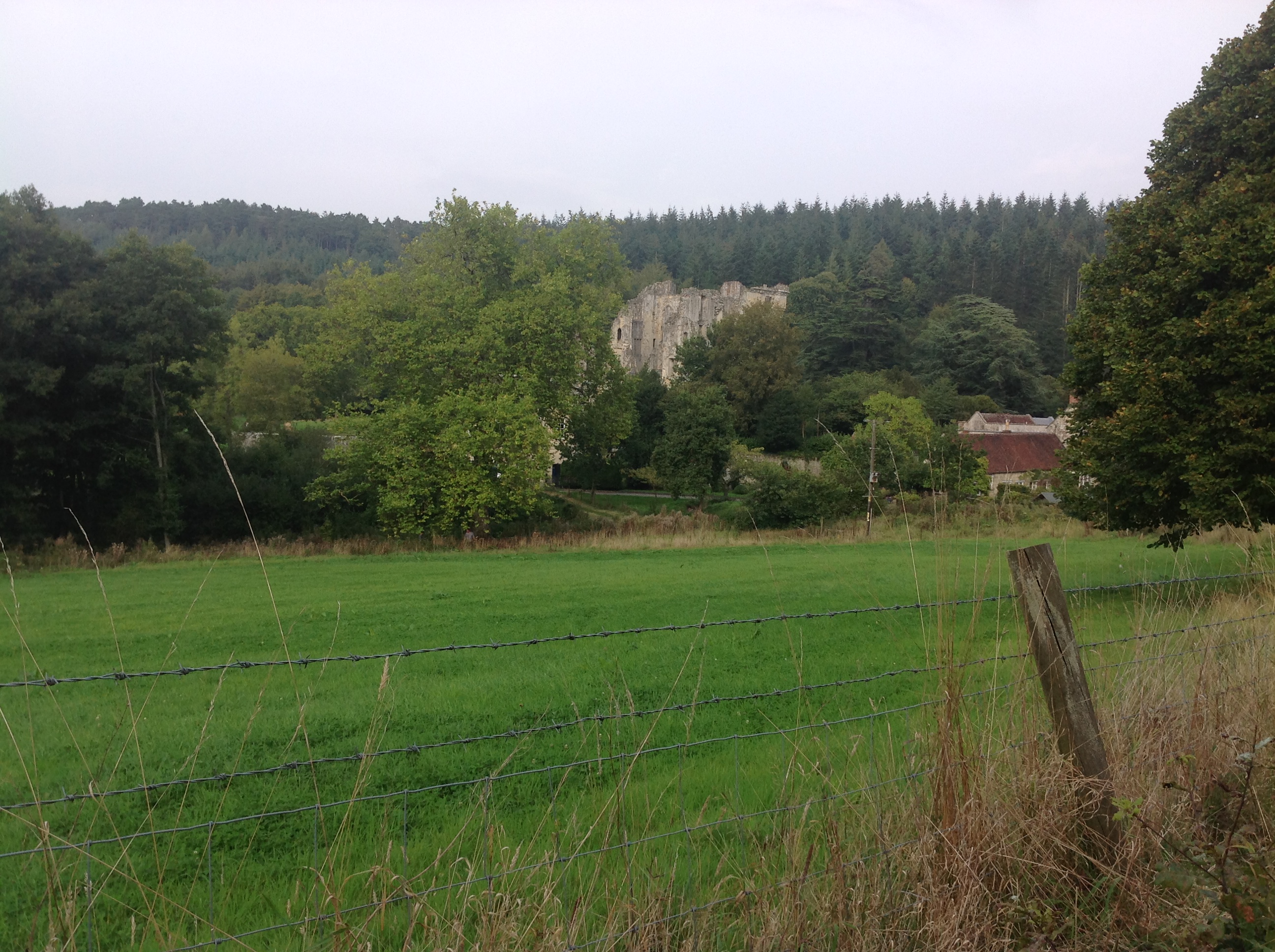
| Place name | WARDOUR |
| Parish | TISBURY |
| District | |
| Country | ENGLAND |
| Easting / Northing | 393685, 126351 |
| Longitude / Latitude | -2.0900744968751, 51.035946884067 |
| National Grid Reference | ST937264 |
Pins
Be the first to add a comment to this image!