
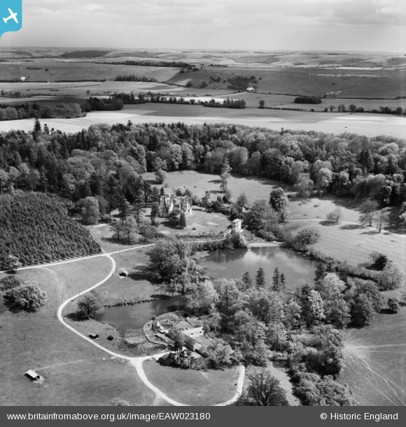
EAW023180 ENGLAND (1949). Wardour Castle and Park, Wardour, from the north-west, 1949
© Copyright OpenStreetMap contributors and licensed by the OpenStreetMap Foundation. 2026. Cartography is licensed as CC BY-SA.
Nearby Images (11)
EAW023180

EAW023178

EAW023181

EAW023179

EAW005107

EAW005113

EAW005109

EAW005106

EAW005110

EAW005111

EAW005112

Details
| Title | [EAW023180] Wardour Castle and Park, Wardour, from the north-west, 1949 |
| Reference | EAW023180 |
| Date | 6-May-1949 |
| Link | |
| Place name | WARDOUR |
| Parish | TISBURY |
| District | |
| Country | ENGLAND |
| Easting / Northing | 393689, 126437 |
| Longitude / Latitude | -2.0900189411606, 51.036720344055 |
| National Grid Reference | ST937264 |
Pins
Be the first to add a comment to this image!
User Comment Contributions
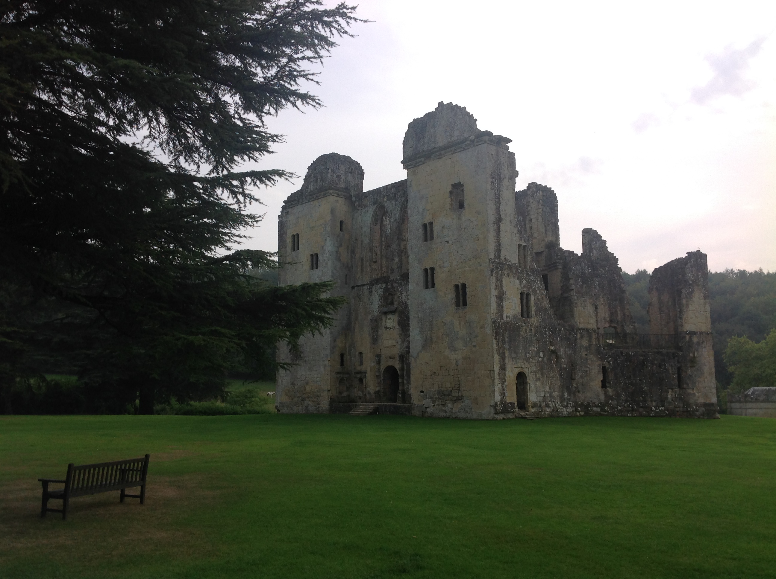
Old Wardour Castle, 17/09/2014 |

Class31 |
Saturday 20th of December 2014 08:22:01 PM |