
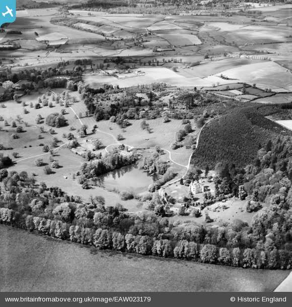
EAW023179 ENGLAND (1949). Wardour Castle and Park, Wardour, 1949
© Copyright OpenStreetMap contributors and licensed by the OpenStreetMap Foundation. 2026. Cartography is licensed as CC BY-SA.
Nearby Images (10)
EAW023179

EAW023180

EAW023178

EAW023181

EAW005107

EAW005113

EAW005109

EAW005111

EAW005110

EAW005112

Details
| Title | [EAW023179] Wardour Castle and Park, Wardour, 1949 |
| Reference | EAW023179 |
| Date | 6-May-1949 |
| Link | |
| Place name | WARDOUR |
| Parish | TISBURY |
| District | |
| Country | ENGLAND |
| Easting / Northing | 393627, 126544 |
| Longitude / Latitude | -2.0909051794025, 51.037681932821 |
| National Grid Reference | ST936265 |
Pins

MB |
Friday 27th of December 2013 08:32:22 PM | |
|
MB |
Friday 27th of December 2013 08:28:42 PM |
User Comment Contributions
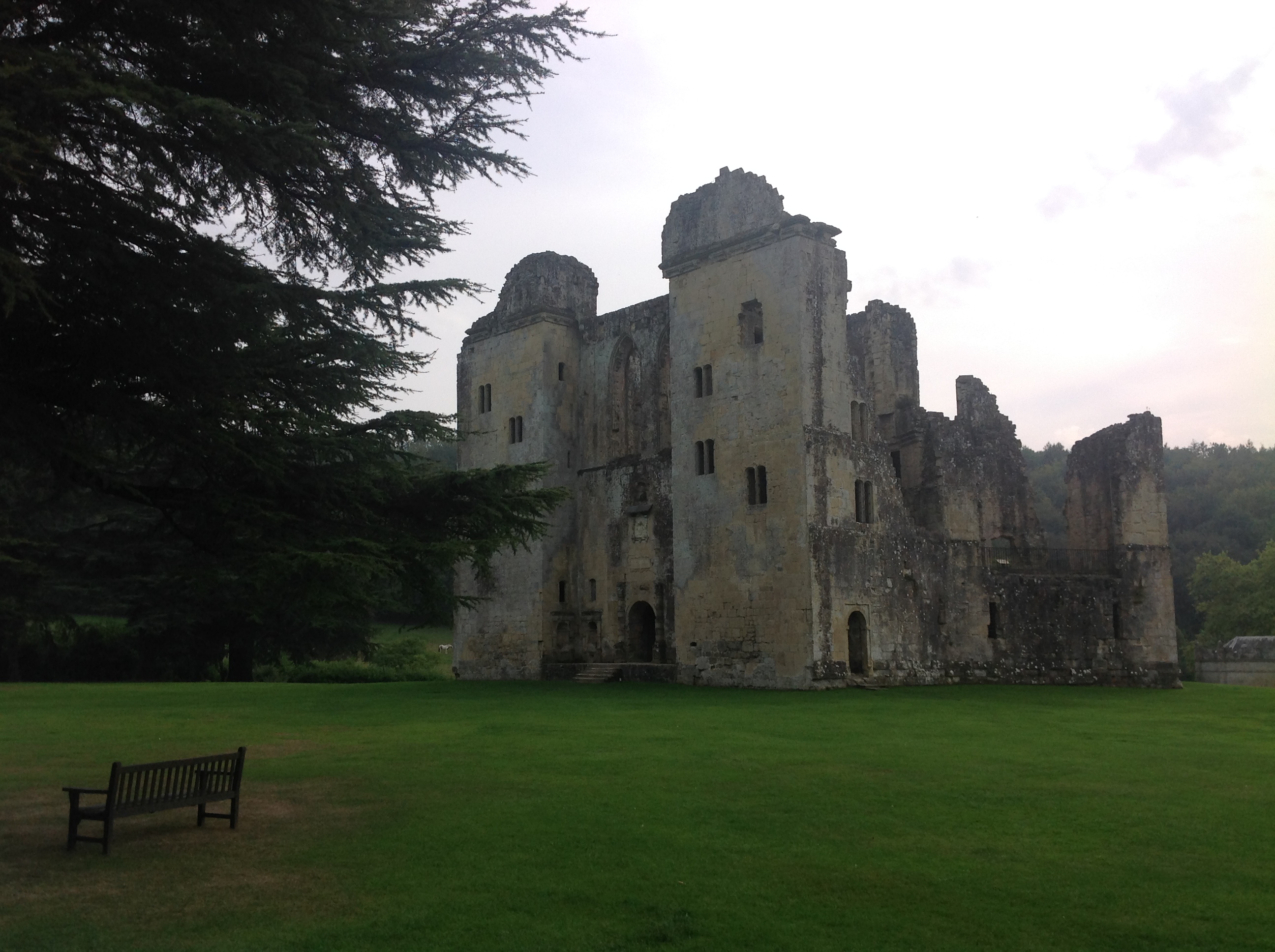
Old Wardour Castle, 17/09/2014 |

Class31 |
Saturday 20th of December 2014 08:21:32 PM |

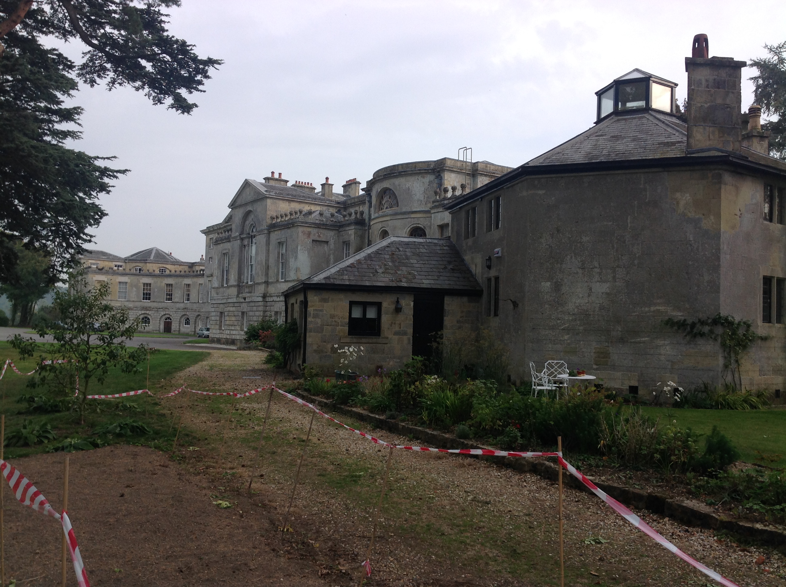
New Wardour Castle, 17/09/2014 |
Class31 |
Friday 19th of September 2014 04:50:37 PM |
New Wardour Castle, 17/09/2014 |
Class31 |
Friday 19th of September 2014 04:49:28 PM |

New Wardour Castle, 17/09/2014 |
Class31 |
Friday 19th of September 2014 04:48:42 PM |
Wardour Castle is a Grade I Listed Building and is open to the public |
MB |
Friday 27th of December 2013 08:30:05 PM |