
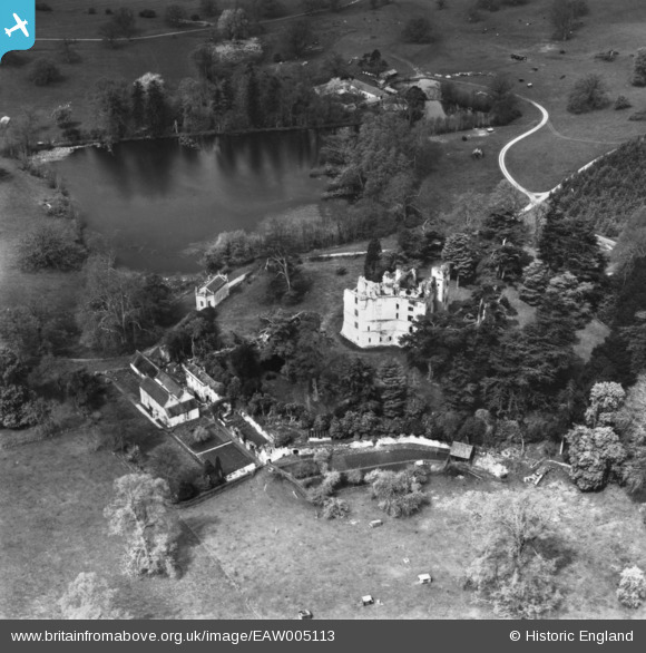
EAW005113 ENGLAND (1947). Old Wardour Castle and House, Wardour, 1947. This image has been produced from a print.
© Copyright OpenStreetMap contributors and licensed by the OpenStreetMap Foundation. 2026. Cartography is licensed as CC BY-SA.
Nearby Images (11)
EAW005113

EAW005109

EAW005110

EAW005112

EAW005111

EAW005107

EAW005106

EAW023181

EAW023180

EAW023178

EAW023179

Details
| Title | [EAW005113] Old Wardour Castle and House, Wardour, 1947. This image has been produced from a print. |
| Reference | EAW005113 |
| Date | 7-September-1947 |
| Link | |
| Place name | WARDOUR |
| Parish | TISBURY |
| District | |
| Country | ENGLAND |
| Easting / Northing | 393841, 126316 |
| Longitude / Latitude | -2.0878487863406, 51.035633815412 |
| National Grid Reference | ST938263 |
Pins


User Comment Contributions
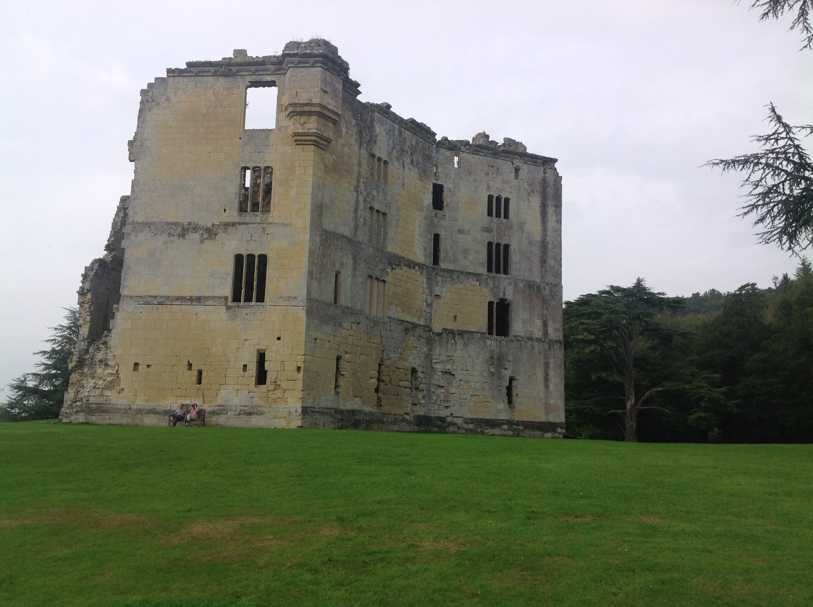
Old Wardour Castle, 17/09/2014 |

Class31 |
Wednesday 17th of September 2014 07:52:55 PM |