
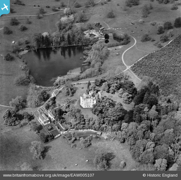
EAW005107 ENGLAND (1947). Old Wardour Castle, Wardour, 1947
© Copyright OpenStreetMap contributors and licensed by the OpenStreetMap Foundation. 2026. Cartography is licensed as CC BY-SA.
Nearby Images (11)
EAW005107

EAW005109

EAW005111

EAW005113

EAW005112

EAW005110

EAW005106

EAW023181

EAW023180

EAW023178

EAW023179

Details
| Title | [EAW005107] Old Wardour Castle, Wardour, 1947 |
| Reference | EAW005107 |
| Date | 7-September-1947 |
| Link | |
| Place name | WARDOUR |
| Parish | TISBURY |
| District | |
| Country | ENGLAND |
| Easting / Northing | 393827, 126372 |
| Longitude / Latitude | -2.0880494292591, 51.036137284949 |
| National Grid Reference | ST938264 |
Pins


User Comment Contributions
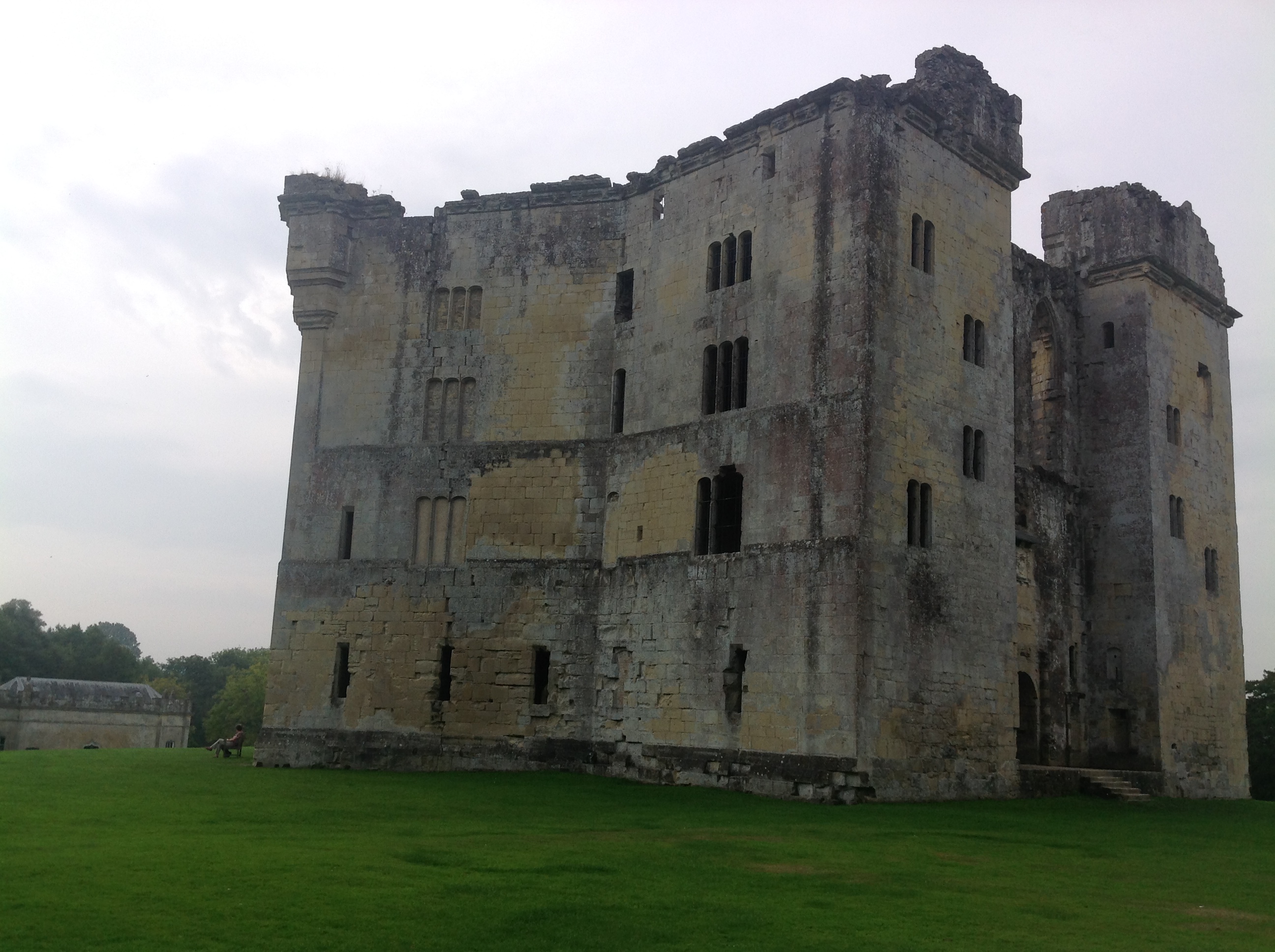
Old Wardour Castle, 17/09/2014 |

Class31 |
Friday 19th of September 2014 04:44:41 PM |

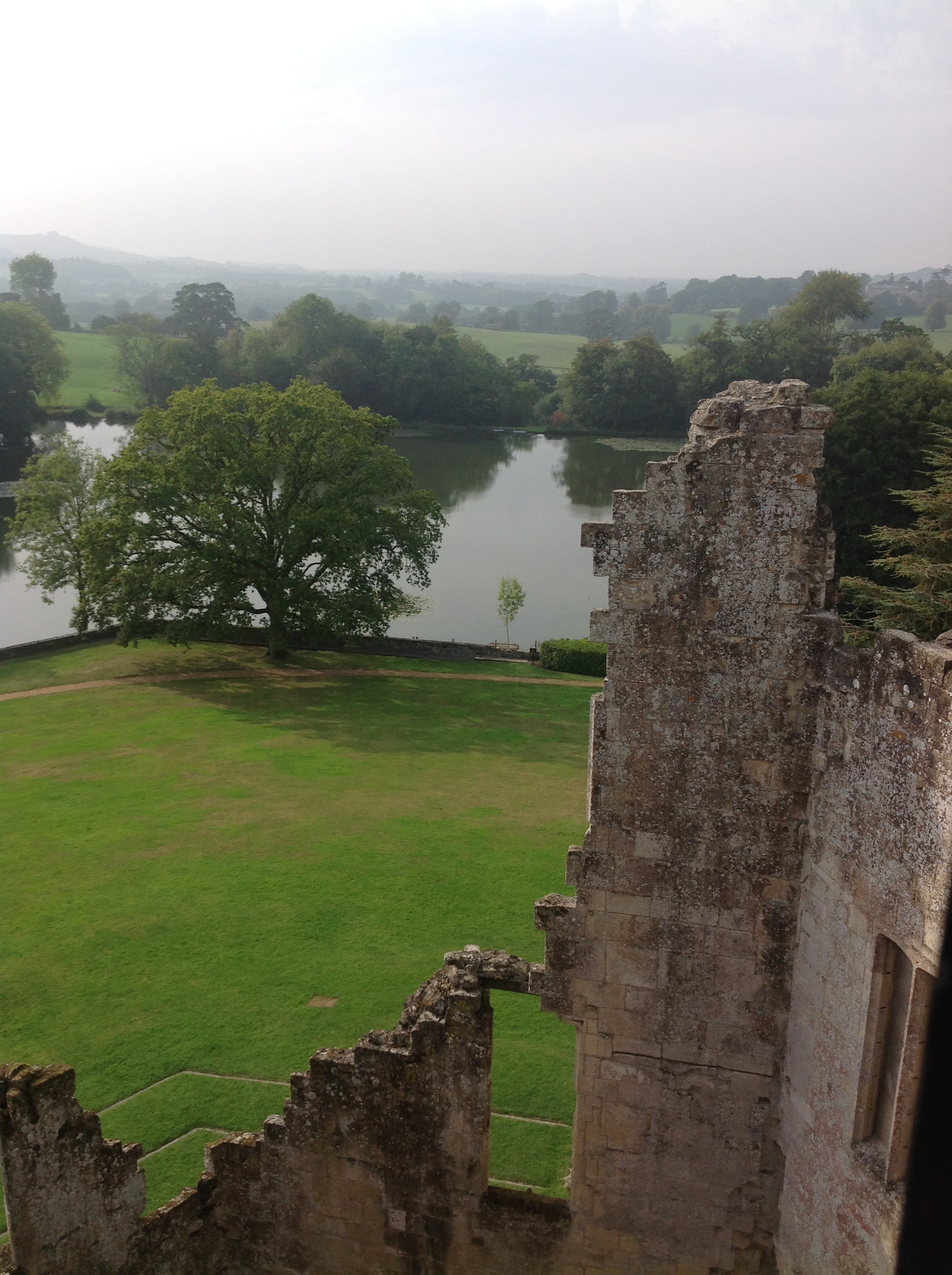
Old Wardour Castle, 17/09/2014 |
Class31 |
Friday 19th of September 2014 04:44:05 PM |
Old Wardour Castle, 17/09/2014 |
Class31 |
Friday 19th of September 2014 04:43:21 PM |
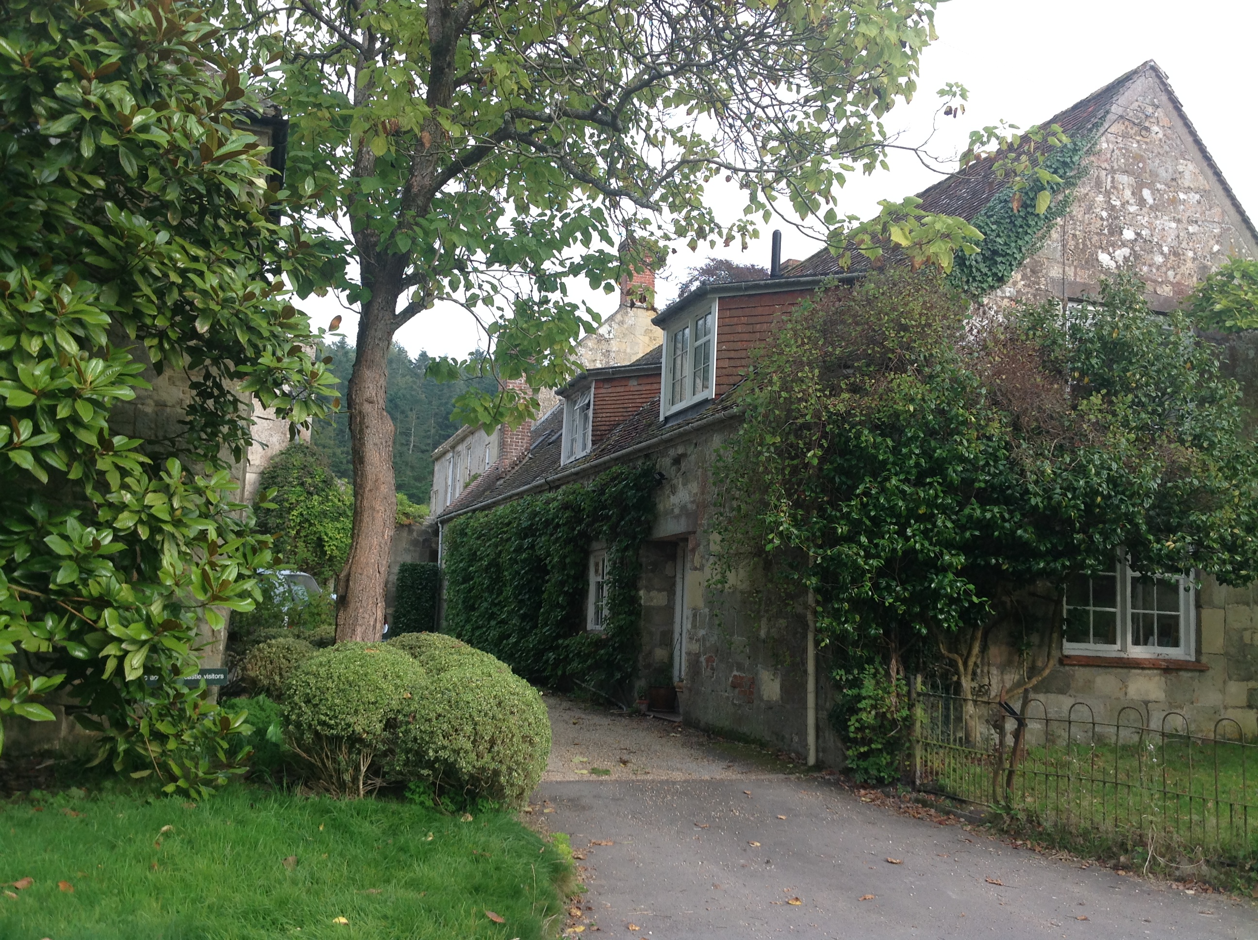
Old Wardour House, 17/09/2014 |
Class31 |
Friday 19th of September 2014 04:42:35 PM |
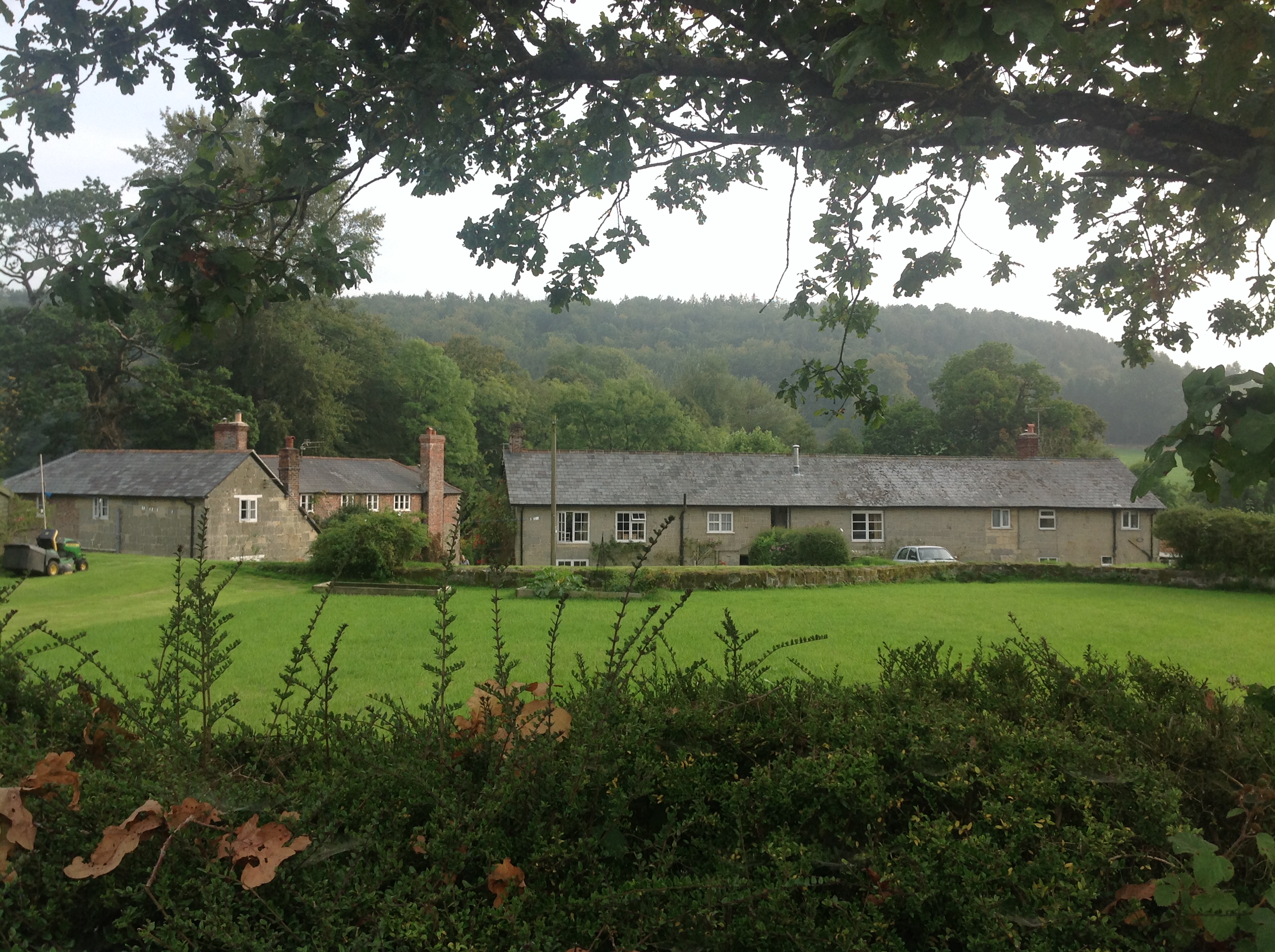
Ark Farm, Wardour Castle, 17/09/2014 |
Class31 |
Friday 19th of September 2014 04:40:04 PM |