
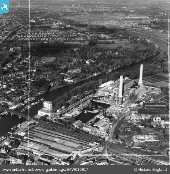
EAW019817 ENGLAND (1948). Kingston Power Station and environs, Kingston Upon Thames, 1948. This image has been produced from a print marked by Aerofilms Ltd for photo editing.
© Copyright OpenStreetMap contributors and licensed by the OpenStreetMap Foundation. 2026. Cartography is licensed as CC BY-SA.
Nearby Images (10)
EAW019817

EAW019818

EAW019820

EAW019822

EAW019819

EAW019815

EPW053659

EAW019821

EAW019816

EPW049569

Details
| Title | [EAW019817] Kingston Power Station and environs, Kingston Upon Thames, 1948. This image has been produced from a print marked by Aerofilms Ltd for photo editing. |
| Reference | EAW019817 |
| Date | 18-October-1948 |
| Link | |
| Place name | KINGSTON UPON THAMES |
| Parish | |
| District | |
| Country | ENGLAND |
| Easting / Northing | 517774, 169900 |
| Longitude / Latitude | -0.30619727030768, 51.415375530469 |
| National Grid Reference | TQ178699 |
Pins
Be the first to add a comment to this image!