
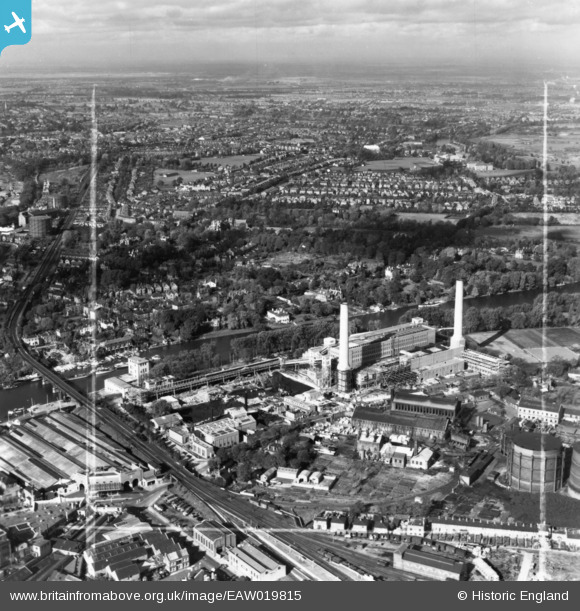
EAW019815 ENGLAND (1948). Kingston Power Station and environs, Kingston Upon Thames, from the south-east, 1948. This image has been produced from a print marked by Aerofilms Ltd for photo editing.
© Copyright OpenStreetMap contributors and licensed by the OpenStreetMap Foundation. 2026. Cartography is licensed as CC BY-SA.
Nearby Images (8)
EAW019815

EAW019821

EAW019822

EAW019820

EPW053659

EAW019816

EAW019817

EAW019818

Details
| Title | [EAW019815] Kingston Power Station and environs, Kingston Upon Thames, from the south-east, 1948. This image has been produced from a print marked by Aerofilms Ltd for photo editing. |
| Reference | EAW019815 |
| Date | 18-October-1948 |
| Link | |
| Place name | KINGSTON UPON THAMES |
| Parish | |
| District | |
| Country | ENGLAND |
| Easting / Northing | 517942, 169747 |
| Longitude / Latitude | -0.30383317393574, 51.413965328885 |
| National Grid Reference | TQ179697 |
Pins
Be the first to add a comment to this image!