
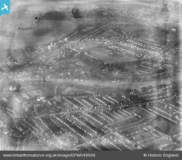
EPW049569 ENGLAND (1936). The River Thames at Hampton Wick and Canbury Gardens, Hampton Wick, 1936. This image has been produced from a damaged negative.
© Copyright OpenStreetMap contributors and licensed by the OpenStreetMap Foundation. 2026. Cartography is licensed as CC BY-SA.
Nearby Images (4)
EPW049569

EAW019818

EAW019819

EAW019817

Details
| Title | [EPW049569] The River Thames at Hampton Wick and Canbury Gardens, Hampton Wick, 1936. This image has been produced from a damaged negative. |
| Reference | EPW049569 |
| Date | January-1936 |
| Link | |
| Place name | HAMPTON WICK |
| Parish | |
| District | |
| Country | ENGLAND |
| Easting / Northing | 517730, 170143 |
| Longitude / Latitude | -0.30674905269222, 51.417568926263 |
| National Grid Reference | TQ177701 |
Pins

John Saunders |
Thursday 13th of February 2014 11:22:34 AM | |
|
John Saunders |
Thursday 13th of February 2014 11:21:04 AM | |
|
Peter Heston |
Sunday 5th of May 2013 02:54:25 PM | |
|
Peter Heston |
Sunday 5th of May 2013 02:53:00 PM | |
|
Peter Heston |
Sunday 5th of May 2013 02:49:27 PM | |
|
Peter Heston |
Sunday 5th of May 2013 02:48:15 PM |