
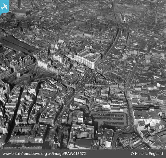
EAW013572 ENGLAND (1948). The city centre around Corporation Row, Birmingham, 1948
© Copyright OpenStreetMap contributors and licensed by the OpenStreetMap Foundation. 2026. Cartography is licensed as CC BY-SA.
Nearby Images (43)
EAW013572

EAW026255

EAW013567

EAW013571

EAW013573

EAW036926

EAW036921

EAW036918

EAW036925

EAW036919

EAW036923

EAW013568

EAW036920

EAW036924

EAW036922

EAW013570

EAW029417
, Snows Hill Station and environs, Birmingham, from the east, 1950")
EPW037055

EPW048093

EAW001238

EAW029380

EAW029414

EPW053091

EAW029378

EAW029415

EAW001239

EPW057481

EAW035107

EAW029379

EAW029382

EAW029374

EAW029419

EPW005842

EAW015327

EAW001235

EAW029377

EAW029381

EAW001236

EAW029383

EAW029375

EAW029376

EAW001237

EAW035108

Details
| Title | [EAW013572] The city centre around Corporation Row, Birmingham, 1948 |
| Reference | EAW013572 |
| Date | 9-March-1948 |
| Link | |
| Place name | BIRMINGHAM |
| Parish | |
| District | |
| Country | ENGLAND |
| Easting / Northing | 407148, 287001 |
| Longitude / Latitude | -1.894737663239, 52.48051752303 |
| National Grid Reference | SP071870 |
Pins

rmawby |
Sunday 11th of April 2021 08:55:14 PM | |

Class31 |
Tuesday 18th of November 2014 02:34:41 PM | |
|
Glassman |
Thursday 28th of November 2013 04:44:56 PM | |
|
Glassman |
Thursday 28th of November 2013 04:41:16 PM | |
|
PURCELL |
Saturday 16th of November 2013 11:12:57 AM | |
|
PURCELL |
Saturday 16th of November 2013 11:12:12 AM | |
|
PURCELL |
Saturday 16th of November 2013 11:11:22 AM | |
|
PURCELL |
Saturday 16th of November 2013 11:10:45 AM | |
|
PURCELL |
Saturday 16th of November 2013 11:09:34 AM | |
|
PURCELL |
Saturday 16th of November 2013 11:08:59 AM | |
|
PURCELL |
Saturday 16th of November 2013 11:08:27 AM | |
|
PURCELL |
Saturday 16th of November 2013 11:07:58 AM | |
|
PURCELL |
Saturday 16th of November 2013 11:07:29 AM | |
|
PURCELL |
Saturday 16th of November 2013 11:07:03 AM | |
|
PURCELL |
Saturday 16th of November 2013 11:06:34 AM | |
|
PURCELL |
Saturday 16th of November 2013 11:05:55 AM | |
|
PURCELL |
Saturday 16th of November 2013 11:04:50 AM | |
|
PURCELL |
Saturday 16th of November 2013 11:04:17 AM | |
|
PURCELL |
Saturday 16th of November 2013 11:03:37 AM | |
|
JerryE |
Saturday 9th of November 2013 10:01:59 AM | |
|
JerryE |
Saturday 9th of November 2013 10:01:15 AM |

User Comment Contributions
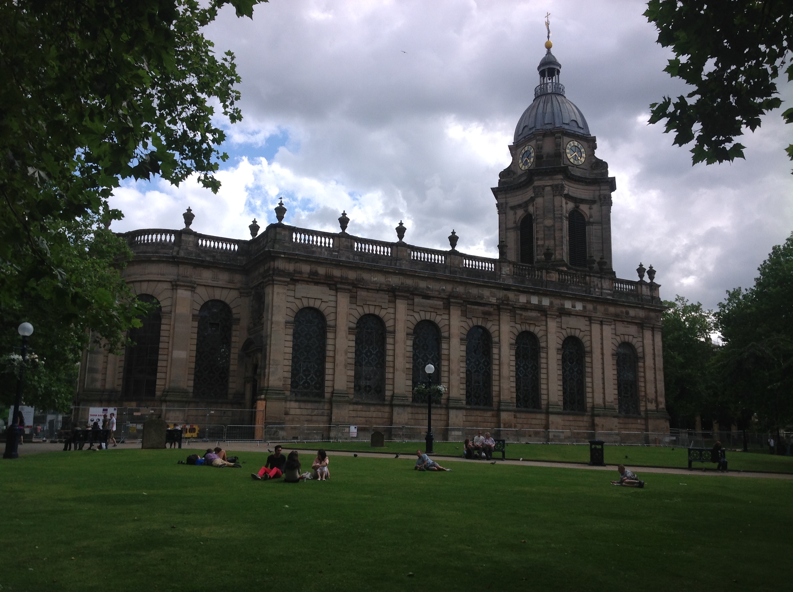
The Cathedral Church of St Philip, Birmingham, 09/08/2014 |
Class31 |
Tuesday 18th of November 2014 02:33:56 PM |