
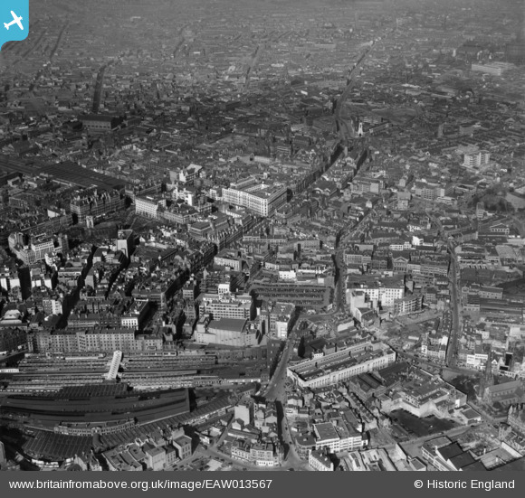
EAW013567 ENGLAND (1948). The city centre including High Street and Corporation Street, Birmingham, 1948
© Copyright OpenStreetMap contributors and licensed by the OpenStreetMap Foundation. 2026. Cartography is licensed as CC BY-SA.
Nearby Images (33)
EAW013567

EAW013573

EAW013572

EAW026255

EAW013568

EAW013571

EPW048093

EAW001238

EAW036926

EAW036921

EAW036918

EAW036925

EPW057481

EAW036919

EAW036923

EAW036924

EAW029417
, Snows Hill Station and environs, Birmingham, from the east, 1950")
EAW036920

EAW036922

EPW037055

EPW053091

EAW013570

EAW035107

EAW029414

EAW001239

EAW015327

EAW001235

EAW029380

EAW029415

EAW029378

EAW001237

EPW005842

EAW035108

Details
| Title | [EAW013567] The city centre including High Street and Corporation Street, Birmingham, 1948 |
| Reference | EAW013567 |
| Date | 9-March-1948 |
| Link | |
| Place name | BIRMINGHAM |
| Parish | |
| District | |
| Country | ENGLAND |
| Easting / Northing | 407165, 286948 |
| Longitude / Latitude | -1.8944884595556, 52.48004077747 |
| National Grid Reference | SP072869 |
Pins


User Comment Contributions

The Cathedral Church of St Philip, Birmingham, 09/08/2014 |

Class31 |
Tuesday 19th of August 2014 11:13:10 AM |