
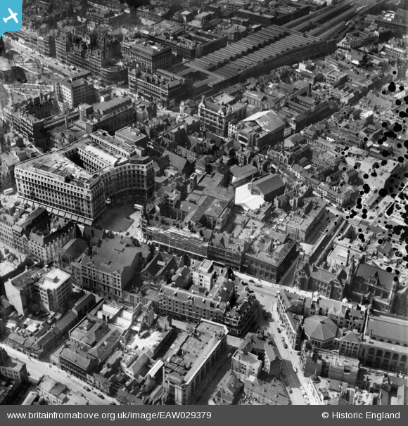
EAW029379 ENGLAND (1950). Richard Lunt & Co Ltd Premises and environs, Birmingham, 1950
© Copyright OpenStreetMap contributors and licensed by the OpenStreetMap Foundation. 2026. Cartography is licensed as CC BY-SA.
Nearby Images (30)
EAW029379

EAW029374

EAW029419

EAW029377

EAW029382

EAW029381

EAW029378

EAW029383

EAW029376

EAW029375

EAW029380

EPW037055

EAW029417
, Snows Hill Station and environs, Birmingham, from the east, 1950")
EAW036922

EAW029418

EAW036924

EAW036920

EAW036919

EAW036923

EAW036925

EPW041473

EAW036918

EAW036926

EAW036921

EAW013571

EPW005856

EAW013570

EAW013572

EAW026255

EAW013573

Details
| Title | [EAW029379] Richard Lunt & Co Ltd Premises and environs, Birmingham, 1950 |
| Reference | EAW029379 |
| Date | 10-May-1950 |
| Link | |
| Place name | BIRMINGHAM |
| Parish | |
| District | |
| Country | ENGLAND |
| Easting / Northing | 407243, 287199 |
| Longitude / Latitude | -1.8933343786426, 52.482296486145 |
| National Grid Reference | SP072872 |
Pins

Class31 |
Monday 10th of March 2014 11:42:50 PM |