
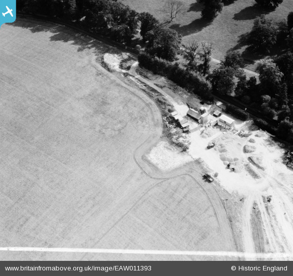
EAW011393 ENGLAND (1947). Quarrying near Surrenden Park, Little Chart, 1947. This image was marked by Aerofilms Ltd for photo editing.
© Copyright OpenStreetMap contributors and licensed by the OpenStreetMap Foundation. 2026. Cartography is licensed as CC BY-SA.
Nearby Images (8)
EAW011393

EAW011394

EAW011390

EAW011392

EAW011388

EAW011391

EAW011389

EAW011395

Details
| Title | [EAW011393] Quarrying near Surrenden Park, Little Chart, 1947. This image was marked by Aerofilms Ltd for photo editing. |
| Reference | EAW011393 |
| Date | 1-October-1947 |
| Link | |
| Place name | LITTLE CHART |
| Parish | LITTLE CHART |
| District | |
| Country | ENGLAND |
| Easting / Northing | 594111, 145768 |
| Longitude / Latitude | 0.77742663173618, 51.177625300944 |
| National Grid Reference | TQ941458 |
Pins

clippedwings |
Sunday 3rd of November 2013 09:02:47 PM | |
Concrete aggregate or a marl pit? |

nkingdon |
Wednesday 13th of November 2013 10:08:43 PM |
User Comment Contributions
Swan Lane, Little Chart, Kent |
c |
Tuesday 7th of January 2014 01:42:18 PM |
Hi c, thanks for these. We'll update the catalogue and post the new data here in due course. Yours, Katy Britain from Above Cataloguing Team Leader |
Katy Whitaker |
Tuesday 7th of January 2014 01:42:18 PM |
In the same set - eaw011388, eaw011389, eaw011390, eaw011391, eaw011392, eaw011393, eaw011394, eaw011395 |
nkingdon |
Wednesday 13th of November 2013 10:07:03 PM |