
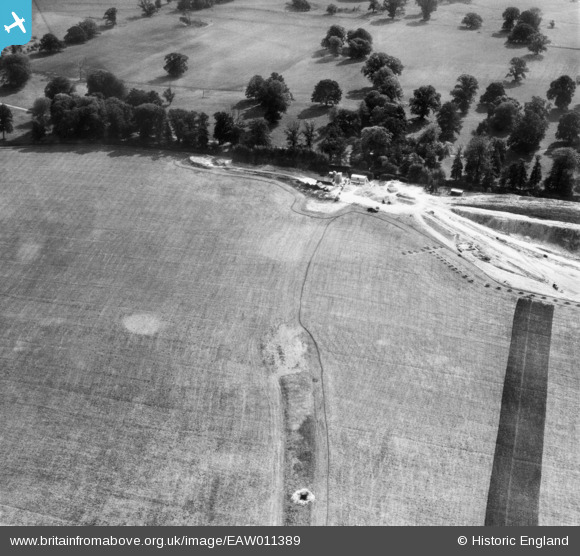
EAW011389 ENGLAND (1947). Quarrying near Surrenden Park and the excavation of a Roman bath house, Little Chart, 1947
© Copyright OpenStreetMap contributors and licensed by the OpenStreetMap Foundation. 2026. Cartography is licensed as CC BY-SA.
Nearby Images (8)
EAW011389

EAW011391

EAW011388

EAW011395

EAW011390

EAW011393

EAW011392

EAW011394

Details
| Title | [EAW011389] Quarrying near Surrenden Park and the excavation of a Roman bath house, Little Chart, 1947 |
| Reference | EAW011389 |
| Date | 1-October-1947 |
| Link | |
| Place name | LITTLE CHART |
| Parish | LITTLE CHART |
| District | |
| Country | ENGLAND |
| Easting / Northing | 594045, 145834 |
| Longitude / Latitude | 0.77651909994784, 51.178240545074 |
| National Grid Reference | TQ940458 |
Pins

nkingdon |
Wednesday 13th of November 2013 10:22:25 PM | |
|
nkingdon |
Wednesday 13th of November 2013 10:21:16 PM | |
Roman Villa See - http://bit.ly/1aOBjby |
nkingdon |
Tuesday 19th of November 2013 10:11:35 AM |
|
nkingdon |
Wednesday 13th of November 2013 09:58:17 PM |
User Comment Contributions
looking south to Surrenden Park, Little Chart, Kent |
c |
Tuesday 7th of January 2014 01:39:29 PM |
Thanks! We'll update the catalogue and post the new data here in due course. Yours, Katy Britain from Above Cataloguing Team Leader |
Katy Whitaker |
Tuesday 7th of January 2014 01:39:29 PM |
In the same set - eaw011388, eaw011389, eaw011390, eaw011391, eaw011392, eaw011393, eaw011394, eaw011395 |
nkingdon |
Wednesday 13th of November 2013 10:05:11 PM |