
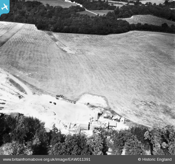
EAW011391 ENGLAND (1947). Quarrying near Surrenden Park, Little Chart, 1947
© Copyright OpenStreetMap contributors and licensed by the OpenStreetMap Foundation. 2026. Cartography is licensed as CC BY-SA.
Nearby Images (8)
EAW011391

EAW011388

EAW011389

EAW011390

EAW011393

EAW011392

EAW011394

EAW011395

Details
| Title | [EAW011391] Quarrying near Surrenden Park, Little Chart, 1947 |
| Reference | EAW011391 |
| Date | 1-October-1947 |
| Link | |
| Place name | LITTLE CHART |
| Parish | LITTLE CHART |
| District | |
| Country | ENGLAND |
| Easting / Northing | 594070, 145810 |
| Longitude / Latitude | 0.77686340485361, 51.178016481279 |
| National Grid Reference | TQ941458 |
Pins
Be the first to add a comment to this image!
User Comment Contributions
looking north over Swan Lane, Little Chart, Kent |

c |
Tuesday 7th of January 2014 01:40:43 PM |
Thank you for spending time on this group. We'll update the catalogue and post the new data here in due course. Yours, Katy Britain from Above Cataloguing Team Leader |
Katy Whitaker |
Tuesday 7th of January 2014 01:40:43 PM |
In the same set - eaw011388, eaw011389, eaw011390, eaw011391, eaw011392, eaw011393, eaw011394, eaw011395 |
nkingdon |
Wednesday 13th of November 2013 10:06:36 PM |