
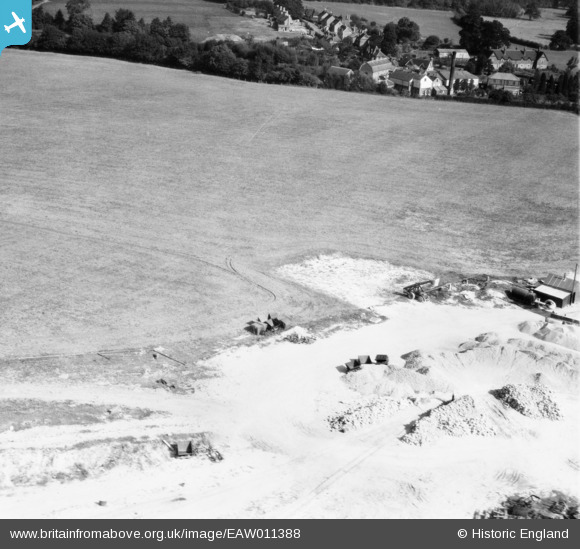
EAW011388 ENGLAND (1947). Quarrying near Surrenden Park, Little Chart, 1947
© Copyright OpenStreetMap contributors and licensed by the OpenStreetMap Foundation. 2026. Cartography is licensed as CC BY-SA.
Nearby Images (8)
EAW011388

EAW011390

EAW011391

EAW011393

EAW011392

EAW011394

EAW011389

EAW011395

Details
| Title | [EAW011388] Quarrying near Surrenden Park, Little Chart, 1947 |
| Reference | EAW011388 |
| Date | 1-October-1947 |
| Link | |
| Place name | LITTLE CHART |
| Parish | LITTLE CHART |
| District | |
| Country | ENGLAND |
| Easting / Northing | 594087, 145789 |
| Longitude / Latitude | 0.77709500276871, 51.17782207957 |
| National Grid Reference | TQ941458 |
Pins

AndrewGVT |
Friday 20th of December 2013 03:16:17 PM | |
|
nkingdon |
Tuesday 19th of November 2013 10:24:11 AM |
User Comment Contributions
looking east to Little Chart, Kent |
c |
Tuesday 7th of January 2014 01:33:00 PM |
Brilliant! |
nkingdon |
Tuesday 19th of November 2013 10:00:55 AM |
Fabulous! Thanks c, this group has caused me no end of trouble. You may be interested to know that the original Aerofilms Ltd Register entry reads "Lt.Col. Hughes-Hallett, The Lordship, Much Hadham, Herts (Lordship Farm Lane)". We'll update the catalogue and post the new data here in due course. Yours, Katy Britain from Above Cataloguing Team Leader |
Katy Whitaker |
Tuesday 7th of January 2014 01:33:00 PM |
In the same set eaw011388, eaw011389, eaw011390, eaw011391, eaw011392, eaw011393, eaw011394, eaw011395. |
nkingdon |
Wednesday 13th of November 2013 09:55:43 PM |