
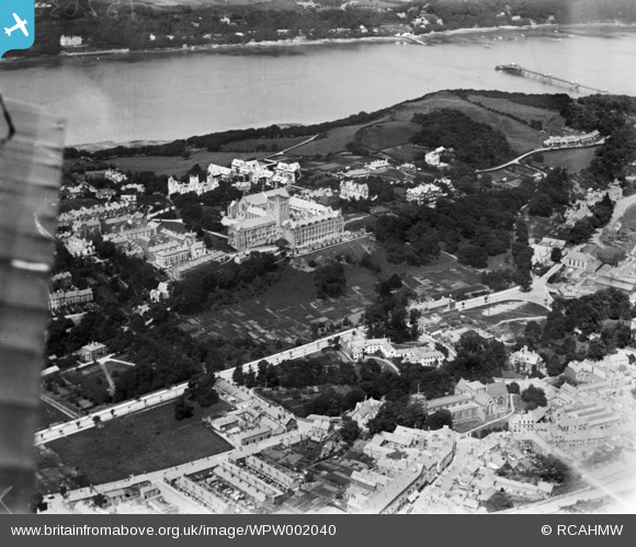
WPW002040 WALES (1920). View of Bangor, oblique aerial view. 5"x4" black and white glass plate negative.
© Hawlfraint cyfranwyr OpenStreetMap a thrwyddedwyd gan yr OpenStreetMap Foundation. 2026. Trwyddedir y gartograffeg fel CC BY-SA.
Delweddau cyfagos (17)
WAW001734

WAW001735

WAW001738

WAW001739

WPW002036

WPW002038

WPW002040

WPW002042

WPW002043

WPW002044

WPW002045

WPW002046

WPW002047

WPW045210

WPW045211

WPW045212

WPW045213

Manylion
| Pennawd | [WPW002040] View of Bangor, oblique aerial view. 5"x4" black and white glass plate negative. |
| Cyfeirnod | WPW002040 |
| Dyddiad | July-1920 |
| Dolen | Coflein Archive Item 6370244 |
| Enw lle | |
| Plwyf | |
| Ardal | |
| Gwlad | WALES |
| Dwyreiniad / Gogleddiad | 258087, 372019 |
| Hydred / Lledred | -4.1260777865694, 53.22594875768 |
| Cyfeirnod Grid Cenedlaethol | SH581720 |
Pinnau

Class31 |
Thursday 23rd of May 2013 09:46:05 PM | |

dgloster |
Thursday 9th of August 2012 08:54:07 PM | |
|
dgloster |
Thursday 9th of August 2012 08:52:35 PM | |

JMB |
Wednesday 18th of July 2012 08:27:28 PM | |
|
Anita Jones |
Thursday 28th of June 2012 12:19:38 AM | |
|
Anita Jones |
Thursday 28th of June 2012 12:16:02 AM | |
Not in 1920! |
JMB |
Thursday 23rd of August 2012 08:05:11 PM |