
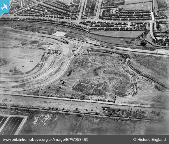
EPW058465 ENGLAND (1938). The southern part of the Chingford (William Girling) Reservoir under construction, Edmonton, 1938
© Hawlfraint cyfranwyr OpenStreetMap a thrwyddedwyd gan yr OpenStreetMap Foundation. 2026. Trwyddedir y gartograffeg fel CC BY-SA.
Delweddau cyfagos (26)
EPW058465
 Reservoir under construction, Edmonton, 1938")
EPW058461
 Reservoir under construction and the River Lea, Edmonton, 1938")
EPW053843
 Reservoir under construction, Edmonton, 1937")
EPW049715

EPW056319

EPW049528

EPW056326

EPW056815

EPW052274

EPW056821

EPW058471
 Reservoir under construction, Edmonton, from the south, 1938")
EPW049696

EPW060629

EPW056817

EPW049523

EPW060635

EPW056822

EPW055980

EPW052273

EPW055982

EPW049727

EPW049722

EPW049714

EPW052287

EPW053840
 Reservoir under construction, Edmonton, 1937")
EPW053841
 Reservoir under construction, Edmonton, 1937")
Manylion
| Pennawd | [EPW058465] The southern part of the Chingford (William Girling) Reservoir under construction, Edmonton, 1938 |
| Cyfeirnod | EPW058465 |
| Dyddiad | 3-August-1938 |
| Dolen | |
| Enw lle | EDMONTON |
| Plwyf | |
| Ardal | |
| Gwlad | ENGLAND |
| Dwyreiniad / Gogleddiad | 536179, 192826 |
| Hydred / Lledred | -0.032796570263736, 51.617293605182 |
| Cyfeirnod Grid Cenedlaethol | TQ362928 |
Pinnau

G.Martin |
Tuesday 13th of January 2015 08:18:15 PM |