
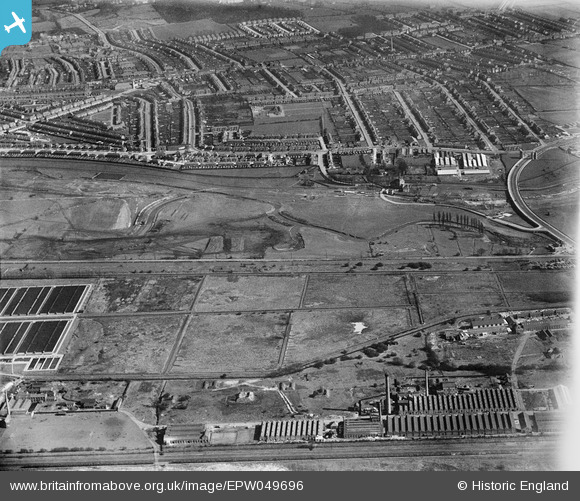
EPW049696 ENGLAND (1936). The area to the southern end of the William Girling Reservoir showing preliminary construction works, Edmonton, 1936
© Hawlfraint cyfranwyr OpenStreetMap a thrwyddedwyd gan yr OpenStreetMap Foundation. 2026. Trwyddedir y gartograffeg fel CC BY-SA.
Delweddau cyfagos (21)
EPW049696

EPW056319

EPW049523

EPW056821

EPW055980

EPW052274

EPW056815

EPW053843
 Reservoir under construction, Edmonton, 1937")
EPW058465
 Reservoir under construction, Edmonton, 1938")
EPW052287

EPW055981

EPW058461
 Reservoir under construction and the River Lea, Edmonton, 1938")
EPW060635

EPW056320

EPW053836

EPW050859

EPW058467

EPW049727

EPW049528

EPW049715

EPW060629

Manylion
| Pennawd | [EPW049696] The area to the southern end of the William Girling Reservoir showing preliminary construction works, Edmonton, 1936 |
| Cyfeirnod | EPW049696 |
| Dyddiad | March-1936 |
| Dolen | |
| Enw lle | EDMONTON |
| Plwyf | |
| Ardal | |
| Gwlad | ENGLAND |
| Dwyreiniad / Gogleddiad | 536085, 192695 |
| Hydred / Lledred | -0.034204489251475, 51.616139041677 |
| Cyfeirnod Grid Cenedlaethol | TQ361927 |
Pinnau

G.Martin |
Sunday 8th of June 2014 04:00:53 PM | |
|
Neil H |
Tuesday 7th of May 2013 02:08:00 PM | |
|
Neil H |
Tuesday 7th of May 2013 02:05:29 PM | |
|
Neil H |
Tuesday 7th of May 2013 02:04:40 PM | |
|
Neil H |
Tuesday 7th of May 2013 02:02:23 PM |