
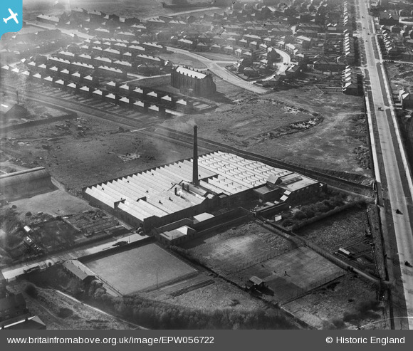
EPW056722 ENGLAND (1938). The Emerson Cotton Mill, Ribbleton, 1938
© Hawlfraint cyfranwyr OpenStreetMap a thrwyddedwyd gan yr OpenStreetMap Foundation. 2026. Trwyddedir y gartograffeg fel CC BY-SA.
Delweddau cyfagos (29)
EPW056722

EPW026294

EAW025994

EPW056725

EPW056723

EPW056724

EPW056721

EPW056720

EAW025997

EPW026292

EPW026295

EPW026291

EAW025999

EPW026296

EPW026399

EPW026293

EPW038861

EAW025996

EAW025995

EAW025998

EAW025993

EPW038860

EPW038859

EPW038858

EPW038866

EPW038863

EPW038862

EPW038864

EPW038865

Manylion
| Pennawd | [EPW056722] The Emerson Cotton Mill, Ribbleton, 1938 |
| Cyfeirnod | EPW056722 |
| Dyddiad | 6-April-1938 |
| Dolen | |
| Enw lle | RIBBLETON |
| Plwyf | |
| Ardal | |
| Gwlad | ENGLAND |
| Dwyreiniad / Gogleddiad | 355453, 430723 |
| Hydred / Lledred | -2.6759542551806, 53.770723536757 |
| Cyfeirnod Grid Cenedlaethol | SD555307 |
Pinnau

totoro |
Wednesday 19th of March 2014 01:06:59 PM | |
|
Robert - Cumbria |
Thursday 6th of February 2014 08:18:03 PM | |
|
Robert - Cumbria |
Thursday 6th of February 2014 08:16:18 PM | |
|
Robert - Cumbria |
Thursday 6th of February 2014 08:15:42 PM | |
|
Robert - Cumbria |
Thursday 6th of February 2014 08:15:08 PM | |
|
Robert - Cumbria |
Thursday 6th of February 2014 08:14:04 PM |