
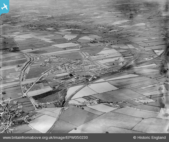
EPW050230 ENGLAND (1936). The Ollerton Colliery, housing at New Ollerton and surrounding countryside, Ollerton, 1936
© Hawlfraint cyfranwyr OpenStreetMap a thrwyddedwyd gan yr OpenStreetMap Foundation. 2026. Trwyddedir y gartograffeg fel CC BY-SA.
Delweddau cyfagos (8)
EPW050230

EPW050232

EPW050231

EPW050234

EPW050235

EPW050238

EPW050236

EPW050233

Manylion
| Pennawd | [EPW050230] The Ollerton Colliery, housing at New Ollerton and surrounding countryside, Ollerton, 1936 |
| Cyfeirnod | EPW050230 |
| Dyddiad | May-1936 |
| Dolen | |
| Enw lle | OLLERTON |
| Plwyf | OLLERTON AND BOUGHTON |
| Ardal | |
| Gwlad | ENGLAND |
| Dwyreiniad / Gogleddiad | 466655, 367716 |
| Hydred / Lledred | -1.0020103598391, 53.202049888827 |
| Cyfeirnod Grid Cenedlaethol | SK667677 |
Pinnau

Graham Bryan |
Saturday 23rd of May 2015 10:01:35 PM |