
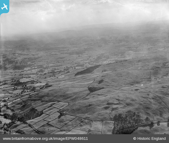
EPW048611 ENGLAND (1935). Carl Crag, Potter Fell, from the north-east, 1935
© Hawlfraint cyfranwyr OpenStreetMap a thrwyddedwyd gan yr OpenStreetMap Foundation. 2026. Trwyddedir y gartograffeg fel CC BY-SA.
Delweddau cyfagos (2)
EPW048611

EPW041960

Manylion
| Pennawd | [EPW048611] Carl Crag, Potter Fell, from the north-east, 1935 |
| Cyfeirnod | EPW048611 |
| Dyddiad | July-1935 |
| Dolen | |
| Enw lle | POTTER FELL |
| Plwyf | STRICKLAND ROGER |
| Ardal | |
| Gwlad | ENGLAND |
| Dwyreiniad / Gogleddiad | 351854, 498948 |
| Hydred / Lledred | -2.7414083253366, 54.383599471115 |
| Cyfeirnod Grid Cenedlaethol | SD519989 |
Pinnau

Class31 |
Saturday 4th of May 2013 05:20:25 PM | |
|
Class31 |
Saturday 4th of May 2013 05:18:47 PM | |
|
Class31 |
Saturday 4th of May 2013 05:16:58 PM | |
|
Class31 |
Saturday 4th of May 2013 04:42:15 PM | |
|
Class31 |
Saturday 4th of May 2013 04:41:17 PM |
Cyfraniadau Grŵp
Thank you... The original Aerofilms Ltd Register entry for the image says "Areas in the Lake District for Manchester Corporation Waterworks"; as you know we simply don't have enough leeway with our time to be able to hunt images like this out. It makes such a difference that website members can help with these. We'll update the catalogue and post the new record here in due course. Yours, Katy Britain from Above Cataloguing Team Leader |
Katy Whitaker |
Tuesday 2nd of July 2013 01:14:38 PM |
View is looking south west |
Class31 |
Saturday 4th of May 2013 04:45:36 PM |
Eureka East View near Garnett Bridge. The system of walls fits with the OS map. |
Class31 |
Saturday 4th of May 2013 04:43:42 PM |