
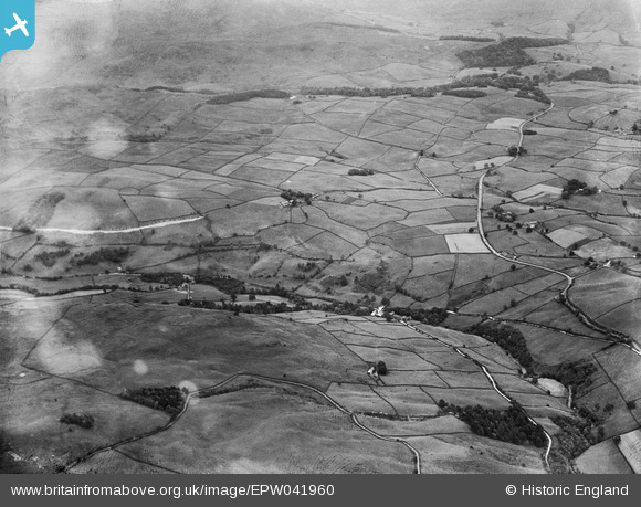
EPW041960 ENGLAND (1933). The view over Carl Crag, Whiteside and Lamb Pasture, Potter Fell, from the south-west, 1933
© Hawlfraint cyfranwyr OpenStreetMap a thrwyddedwyd gan yr OpenStreetMap Foundation. 2026. Trwyddedir y gartograffeg fel CC BY-SA.
Delweddau cyfagos (2)
EPW041960

EPW048611

Manylion
| Pennawd | [EPW041960] The view over Carl Crag, Whiteside and Lamb Pasture, Potter Fell, from the south-west, 1933 |
| Cyfeirnod | EPW041960 |
| Dyddiad | June-1933 |
| Dolen | |
| Enw lle | POTTER FELL |
| Plwyf | STRICKLAND ROGER |
| Ardal | |
| Gwlad | ENGLAND |
| Dwyreiniad / Gogleddiad | 351934, 498850 |
| Hydred / Lledred | -2.7401606582815, 54.382726264766 |
| Cyfeirnod Grid Cenedlaethol | SD519989 |
Pinnau
Byddwch y cyntaf i ychwanegu sylw at y ddelwedd hon!