
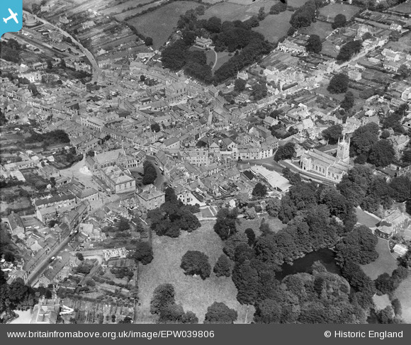
EPW039806 ENGLAND (1932). St Petrock's Church and the town centre, Bodmin, 1932
© Hawlfraint cyfranwyr OpenStreetMap a thrwyddedwyd gan yr OpenStreetMap Foundation. 2026. Trwyddedir y gartograffeg fel CC BY-SA.
Delweddau cyfagos (7)
EPW039806

EPW021681

EPW021680

EPW039804

EPW039809

EPW021684

EPW021679

Manylion
| Pennawd | [EPW039806] St Petrock's Church and the town centre, Bodmin, 1932 |
| Cyfeirnod | EPW039806 |
| Dyddiad | August-1932 |
| Dolen | |
| Enw lle | BODMIN |
| Plwyf | BODMIN |
| Ardal | |
| Gwlad | ENGLAND |
| Dwyreiniad / Gogleddiad | 207210, 66996 |
| Hydred / Lledred | -4.7171319974665, 50.470441928145 |
| Cyfeirnod Grid Cenedlaethol | SX072670 |
Pinnau

Peter |
Saturday 20th of June 2015 08:08:01 PM | |
|
CornwallPhil |
Thursday 3rd of July 2014 07:28:50 PM | |
|
CornwallPhil |
Thursday 3rd of July 2014 07:26:52 PM | |
|
Matthew |
Friday 23rd of August 2013 07:37:32 PM |